01
Feasibility and planning
- Investigation
- Review available records and investigate priority areas.
- Usable record
- Mapped findings and limitations.
- Decision supported
- Identify constraints that may affect scope, layout, or budget.

Confidence-classified findings and engineering-level documentation prepared for contractor and engineering workflows.
Pre-construction intelligence
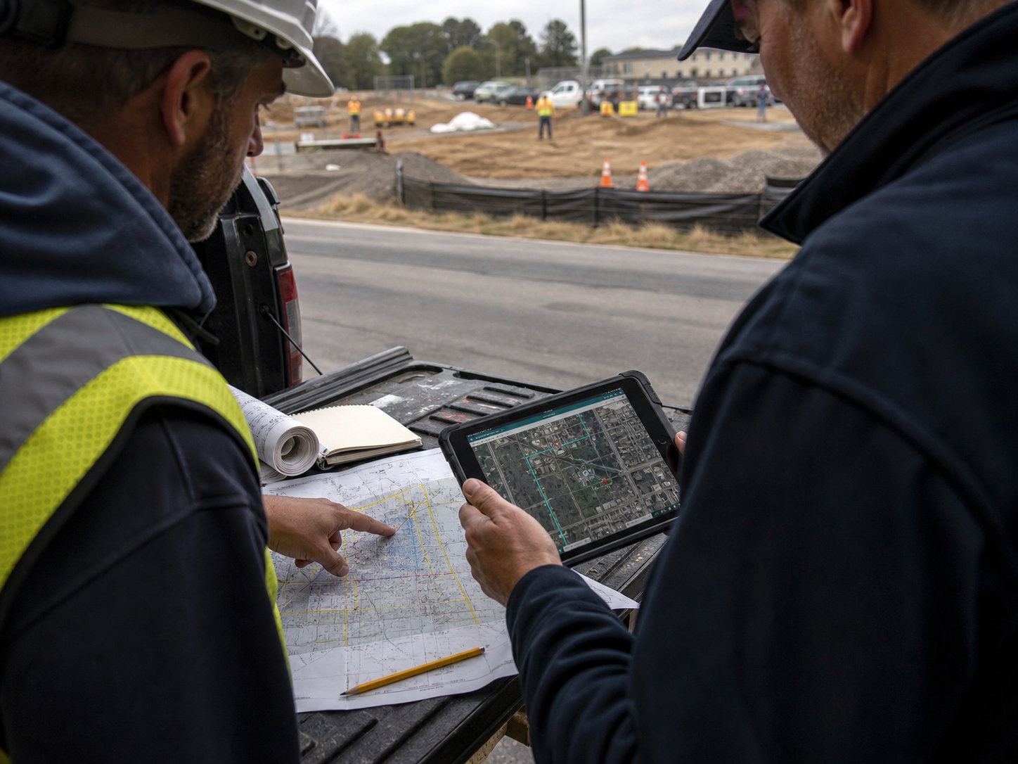
Planning input
Subsurface uncertainty creates risk across planning, safety, excavation, and downstream coordination. SafeLine turns field investigation into information project teams can use before work begins.
Confidence-classified findings, RTK GPS precision, and documentation fit existing contractor and engineering workflows without overstating certainty.
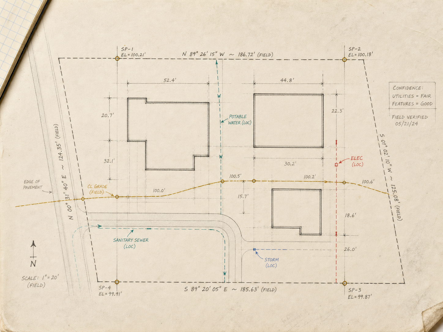
Project phases
Different project phases ask different questions. Early planning needs known constraints and investigation priorities; pre-construction needs coordinated findings; excavation planning needs a clear field record and identified verification needs.
01
02
03
| Project condition | Investigation | Usable record | Decision supported |
|---|---|---|---|
| Feasibility and planning | Review available records and investigate priority areas. | Mapped findings and limitations. | Identify constraints that may affect scope, layout, or budget. |
| Pre-construction coordination | Designate private utilities and position findings where scope supports it. | Utility map, KMZ, or intelligence report. | Coordinate trades, access, phasing, and planned disturbance. |
| Excavation preparation | Reconcile the defined work area with current field evidence. | Surface designation and verification recommendations. | Plan safe work around known evidence and unresolved conditions. |
Who we serve
SafeLine works with the people responsible for project planning, safety, coordination, excavation, and infrastructure records. The investigation is scoped around the decision owner—not around a generic equipment package.
Method
Scope, investigate, classify, document. ASCE 38-aligned methodology provides the standards frame without turning uncertainty into false exactness.
01Scope
Define the planned work and decisions the team needs to make.
02Investigate
Apply field methods appropriate to the site and infrastructure.
03Classify
State confidence in findings and identify limitations.
04Document
Prepare the record for downstream workflows.
Start a project-planning conversation between professionals.
Virginia and Washington, DC