01
Field team needs orientation
- Investigation
- Organize designated findings and relevant site context.
- Usable record
- Utility map or marked plan.
- Decision supported
- Coordinate planned work against documented findings.

Utility mapping and engineering-level documentation. Data you can use: pre-construction intelligence, not only paint on the ground.
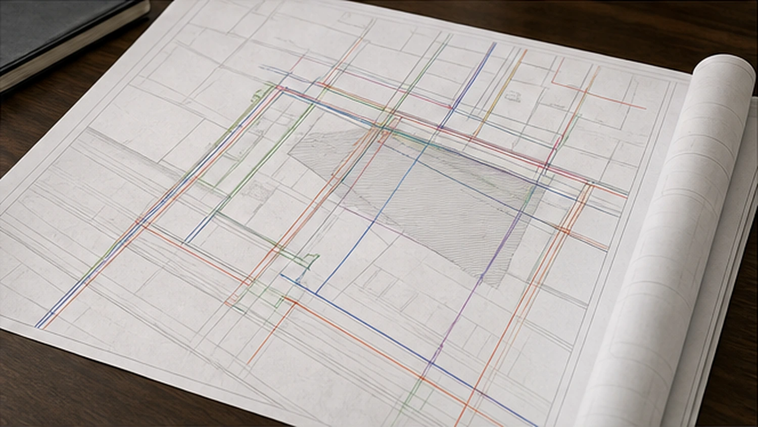
Formats
Our documentation is tailored to match the needs of your project, from KMZ files to pre-construction intelligence reports with congestion mapping and verification recommendations.
Captured with RTK GPS precision and structured for downstream project teams.
Findings are confidence-classified so project teams know how much weight each line can bear.
ASCE 38-aligned methodology
Field evidence
Located and observed directly in the field.
Record evidence
Correlated with records and surface indications.
Verification recommended
Flagged where further verification protects the decision.
Record design
A useful subsurface record is shaped by the next decision. The appropriate format depends on whether the recipient needs field orientation, spatial data, coordination context, or a documented recommendation.
01
02
03
| Project condition | Investigation | Usable record | Decision supported |
|---|---|---|---|
| Field team needs orientation | Organize designated findings and relevant site context. | Utility map or marked plan. | Coordinate planned work against documented findings. |
| Downstream team needs spatial data | Position findings with RTK GPS precision where scope supports it. | KMZ or mapped data deliverable. | Bring field evidence into project review tools. |
| Congestion or uncertainty affects planning | Interpret evidence, classify confidence, and identify limitations. | Pre-construction intelligence report or congestion mapping. | Decide where design coordination or verification is needed. |
Verification
Utility verification and confidence-classified findings help document subsurface infrastructure so records reflect field reality.
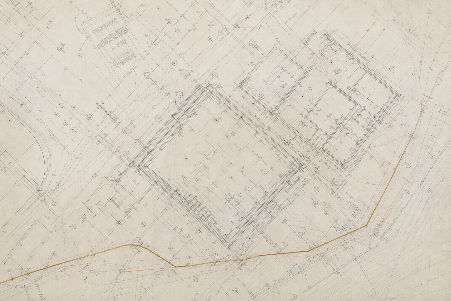
Prepared for contractor and engineering firm workflows
Documentation already prepared and structured for how contractors and engineers actually work. For contractors
Deliverables can be tailored for project workflows, including KMZ files and pre-construction intelligence reports with congestion mapping and verification recommendations.
It states how much weight a finding can bear so teams do not treat uncertainty as exactness.
It keeps the documentation method clear without presenting uncertainty as a guarantee.
They use it as planning input for contractor and engineering firm workflows before decisions move downstream.
Talk with SafeLine about the mapping, verification, and documentation your project needs before decisions move downstream.