
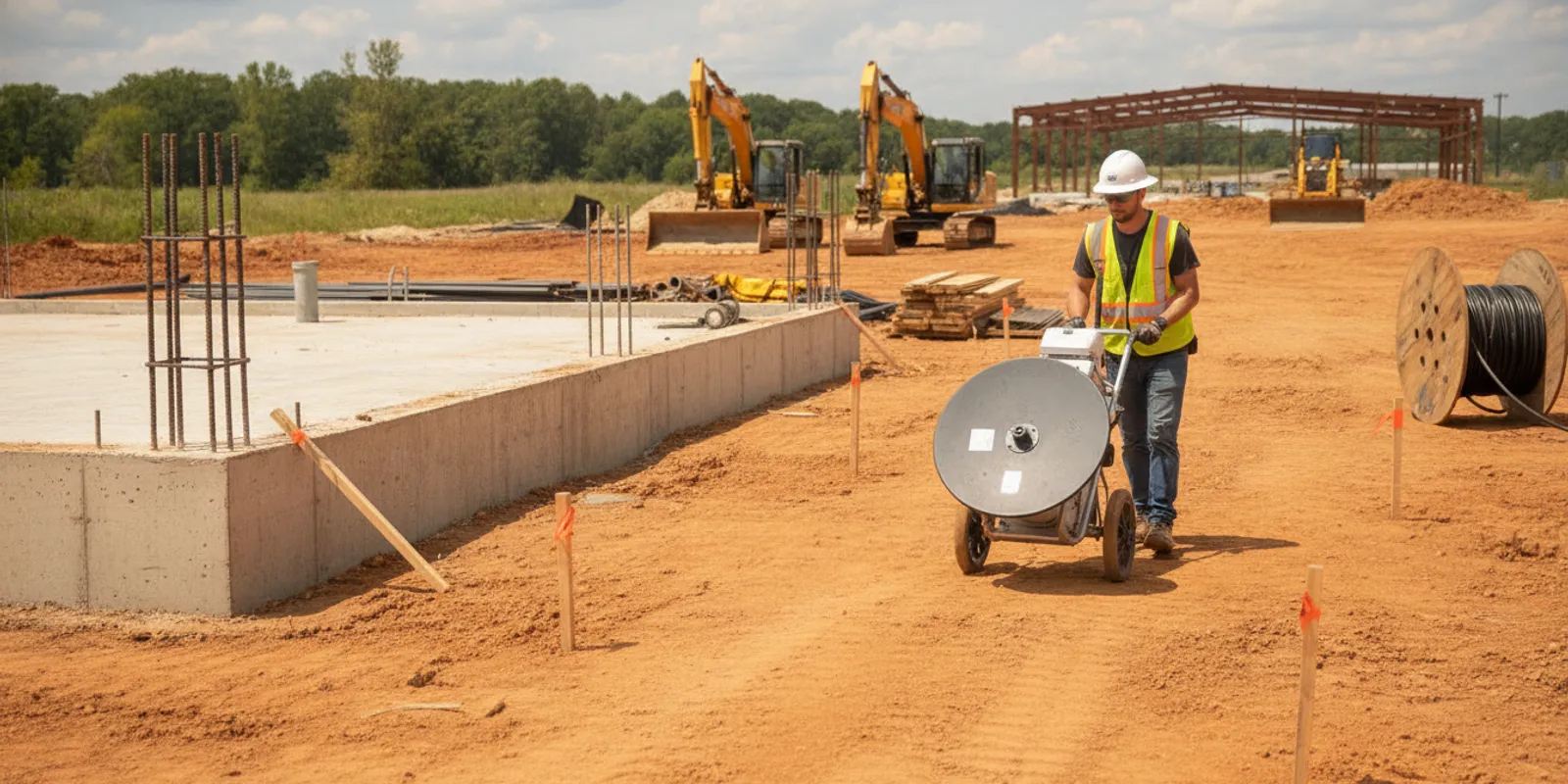
Planning a commercial project in Stafford, VA? Ground penetrating radar (GPR) can help a team investigate selected subsurface conditions before drilling, cutting, or excavation, but useful fieldwork starts with a clear question and a defined work area. This GPR Stafford, VA field guide walks through the decisions that help an owner, contractor, or engineer prepare for an investigation and use its findings responsibly.
Why plan GPR before work reaches the field?
Late discoveries below ground can disrupt a carefully sequenced job. A planned investigation gives the project team a chance to identify areas that warrant attention before the next operation depends on them. That can support decisions about where to investigate further, how to sequence work, or whether the design or means and methods need review.
GPR sends electromagnetic energy into the ground and records reflected responses. A trained operator interprets patterns in those responses in light of site conditions and the question being investigated. GPR is a non-destructive investigation method, not a guarantee that every buried object or condition will be found. Material, depth, surface access, soil conditions, nearby sources of interference, and the target itself can affect what the equipment can reveal.
Start by identifying the decision the information needs to support. “Check this site” is too broad to guide a useful field plan. “Investigate the proposed trench corridor for possible subsurface conflicts before excavation” gives the team a place, a purpose, and a project milestone. SafeLine’s GPR investigation service information can help project teams understand the service path before discussing a site-specific scope.
What should a Stafford project define before requesting GPR?
Set down the basics in a short scope note before comparing schedules or arranging access. Include enough detail for a provider to understand the task without presenting uncertain assumptions as confirmed facts.
- Project purpose: State the decision, planned activity, or potential conflict the investigation should inform.
- Location: Give the project address, site entrance, building or structure name, and a plan or marked aerial identifying the work area.
- Limits: Define the boundaries, route, slab area, or specific zone to be surveyed. Distinguish the requested area from adjacent areas that are out of scope.
- Targets of interest: Describe the suspected feature or material, where the concern came from, and any known depth or orientation information. Label estimates as estimates.
- Planned work: Explain whether the next activity is a bore, footing, saw cut, trench, installation, or another operation, and when the findings are needed.
- Desired deliverable: Say whether the team needs field markings, documentation, mapping, or a combination, and who will review the result.
Draw a boundary around what is actually needed. A compact, well-defined area tied to a decision is easier to plan than an entire property request with no priority zones. If the project has several phases, identify the immediate phase first and note possible later areas separately. That helps the team distinguish current requirements from future possibilities.
How do GPR and utility locating fit together?
GPR and utility locating are related but are not interchangeable terms for a guaranteed inventory of everything underground. GPR can provide information about subsurface responses within the survey area. Electromagnetic locating is another method used for conductive utilities. Depending on the request and site conditions, a project may need one method, more than one method, or a different next step. The appropriate approach depends on the question, not simply on a preference for a particular instrument.
For a project involving buried utilities, coordinate the private investigation with the applicable public one-call process. Public utility marking and private locating address different parts of the picture; a private investigation should not be treated as a replacement for required one-call notification. Review SafeLine’s explanation of how private locating and 811 fit together, and confirm the current notification requirements and timing that apply to the specific work.
Ask the project team what each source of information covers, when it was collected, and how it relates to the planned disturbance. Existing records, surface markings, prior surveys, and field observations can differ in date, accuracy, and purpose. Keep those distinctions visible rather than combining them into an apparently complete picture.
Which records and site context should the team gather?
Provide relevant information early, even if the records are incomplete. A useful starting package can include a current site plan, proposed work drawings, known utility records, prior locating or scanning reports, construction photographs, and a description of the intended disturbance. Include plan dates and revision numbers so everyone can see which drawing is current.
Tell the field team about site conditions that may affect access or interpretation. Examples include parked vehicles, stored materials, fences, restricted areas, landscaping, uneven ground, active operations, and surfaces that cannot be crossed. For an indoor slab survey, note floor coverings, equipment, furnishings, access restrictions, and whether the surface can be cleared. Do not assume that a space shown as open on a plan will be accessible on the day of fieldwork.
Identify who can answer questions at the site and who has authority to approve access or changes. Provide arrival instructions, safety or check-in procedures, work-hour limitations, and any site-specific protective equipment requirements. If the work area changes after the scope is agreed, circulate a revised sketch or drawing and ask whether the change affects the planned effort.
A practical pre-field document set might include:
- A marked plan with the investigation boundary and priority points.
- The latest proposed construction drawing and a note identifying its revision.
- Available records and prior reports, clearly labeled by date and source.
- Site access instructions, a day-of contact, and known restrictions.
- The target date for fieldwork and the date by which the project needs the findings.
SafeLine’s pre-excavation locate checklist offers another way to organize information when the scope includes buried utilities. For broader damage-prevention resources, consult the Common Ground Alliance.
How should the work area and schedule be coordinated?
Plan field access around the actual site sequence. A survey area should be available when the crew arrives, and the planned route should not be blocked by equipment or materials. If the work involves an occupied building, coordinate with the facility contact about access, room use, escorts, and any periods when the area must remain clear.
Set a realistic milestone for both fieldwork and review. A project may need findings before a design decision, subcontractor mobilization, or excavation window. Make that dependency clear when requesting a conversation; a requested date is not the same as a confirmed schedule. Build time for site access, review, and follow-up questions rather than placing the investigation on the final day before work.
Use a brief coordination checklist:
- Confirm the latest work-area drawing and the limits the team expects to investigate.
- Identify the on-site contact and the person empowered to resolve scope questions.
- Arrange access and clear the survey area to the extent needed for the planned method.
- Review active work, hazards, site rules, and any areas that must remain undisturbed.
- Confirm how field findings will be communicated and who will receive the documentation.
If a schedule changes, communicate the new date promptly. If site conditions, access, or the planned disturbance change, send the updated information too. A short scope review can help determine whether the investigation plan remains suitable or needs adjustment.
How can a team turn a concern into a usable scope?
Consider a hypothetical commercial site where the contractor plans to install a new service line from a building to a work area near a parking lot. The team has an old drawing showing a possible buried line, but the drawing has no clear field reference. Rather than asking for a general scan of the property, the team can mark the proposed route, identify the location of the suspected conflict, and state where excavation is planned. It can attach the drawing, explain its date and uncertainty, and ask what investigation approach could address the defined question.
The team should then identify what decision the findings must support. If the immediate need is to choose a route, mark the alternatives on the plan. If the concern is a specific crossing, show the crossing and the proposed excavation limits. If the design is not final, state which portions are fixed and which may change. These details help the scope discussion focus on useful coverage rather than an undefined request for certainty.
Before fieldwork, make sure the plan used by the crew matches the current project plan. At the end, compare the documented investigation area with the proposed work and note any gaps. If the route moves or the excavation footprint expands, share that revision before relying on the earlier findings for the new area. This simple review connects the field activity to the project decision without treating the investigation as a substitute for construction controls or verification.
What do common investigation approaches compare?
The table below is a planning aid, not a promise that a particular method will answer every question. The actual scope should be based on the project’s target, site conditions, and required deliverable.
| Planning option | Useful when | What to define | Key limitation to discuss |
|---|---|---|---|
| GPR investigation | The question concerns subsurface responses in a defined area, including potential non-metallic features or objects. | Survey boundary, target of interest, surface access, priority locations, and required documentation. | Detection and interpretation depend on target and site conditions; results are not a guarantee of a complete inventory. |
| Electromagnetic locating | The question concerns locating conductive utilities that can be traced with the selected equipment and setup. | Known utility information, access points where relevant, route limits, and requested marking or documentation. | Not every line or material is conductive or traceable; clarify what is and is not being investigated. |
| Combined method discussion | The project has more than one target or uncertainty and the team wants to discuss complementary approaches. | Each target, the reason for concern, work limits, and how the results will inform the next decision. | Using more than one method does not remove all uncertainty or replace project-specific verification. |
Talk through method selection with the investigation provider rather than selecting a method solely from a drawing label or an assumption that one instrument sees all materials. SafeLine describes its utility locating and investigation services and its investigation process and deliverables online. Those pages provide context; the final scope still needs to reflect the requested work and site information.
What should the project team expect from findings?
Before fieldwork, decide who will receive the results and how they will be used. Field markings can help a crew see areas of interest on site, while documentation can preserve observations for design or coordination. A project that needs a mapped record should state the desired format and the reference information the team will use. Do not assume that a field mark by itself answers questions about exact depth, ownership, condition, or safe clearance for a planned operation.
After the investigation, compare the findings with the current construction plan and the original question. Ask which areas were covered, what the observations indicate, what limitations were noted, and whether any parts of the requested scope could not be accessed. If a result raises a new question, record it and discuss the appropriate follow-up before treating the interpretation as a construction instruction.
Keep project records together: the scope, plan revisions, field documentation, date of investigation, and follow-up decisions. If the work area or design changes, show the new limits against the prior information. A previous investigation may not address a revised route or a different disturbance area; ask whether the changed scope warrants additional review.
How should teams document uncertainty and next steps?
Keep observations separate from assumptions in project notes. A record might distinguish a feature shown on an old drawing from a response observed during current fieldwork, and distinguish both from a confirmed utility record. That distinction helps designers and construction managers understand how much weight to give each item and what questions remain. Use plan labels, dates, and clear references so the field information can be compared with the current design.
If an area could not be accessed or a requested question remains unresolved, record that limitation and identify the affected portion of the work area. The project team can then decide whether to change the design, obtain additional information, or use another verification step before proceeding. Avoid translating an uncertain indication into a precise depth, material, or ownership statement unless the deliverable supports that conclusion.
Assign an owner for follow-up. That person can distribute the findings to the designer, superintendent, and relevant trade partners, collect questions, and confirm that any revised plan reaches the people working in the field. A short closeout note should list the documents reviewed, the area investigated, open questions, and decisions made afterward. When a later phase begins, compare its footprint with the prior work limits instead of assuming the earlier investigation applies automatically.
When should a Stafford project request a GPR conversation?
Start the conversation when a defined project decision depends on subsurface information and there is enough time to coordinate access and review. That may be during preconstruction planning, before a proposed slab penetration, or before a planned excavation reaches a location with an unresolved concern. Earlier planning gives the team a chance to gather records, confirm boundaries, and identify questions that still need an answer.
For an initial inquiry, share the project location, a marked work area, the planned activity, the target or concern, relevant records, desired timing, and the person who will review the findings. SafeLine’s contractor information and service-area information can help commercial teams prepare context for a project discussion. The team can then clarify whether the requested work fits the available scope and what additional details are needed.
To discuss a project-specific GPR scope, review the GPR service information and share the site plan and investigation question. For general company background, see about SafeLine.
Request a project conversation
Frequently asked questions
Can GPR identify every underground utility at a Stafford site?
No investigation method should be treated as a guarantee that every buried utility or object will be found. Results depend on the target and site conditions. For planned excavation, coordinate applicable 811 notification with any separate private investigation and clarify the limits of each source of information.
What information should I send when requesting a GPR investigation?
Send the project location, a marked plan of the area, the planned activity, the question or target of interest, relevant records, site access details, and the date by which the team needs findings. Identify any areas that must remain accessible or cannot be surveyed.
Is GPR the same as utility locating?
GPR is one investigation method that can help assess subsurface responses. Utility locating can involve different methods and a defined focus on locating utilities. Ask the provider to explain the proposed method, target, coverage, and deliverable for your particular scope.
When should the investigation happen?
Schedule it early enough to allow for access coordination, fieldwork, review, and follow-up before the project decision or disturbance depends on the results. The right timing depends on the site and project schedule, so provide the required decision date when requesting a scope.
A clear question, current plan, accessible work area, and time for review make a GPR investigation easier to coordinate and its findings easier to apply thoughtfully to a Stafford project.