
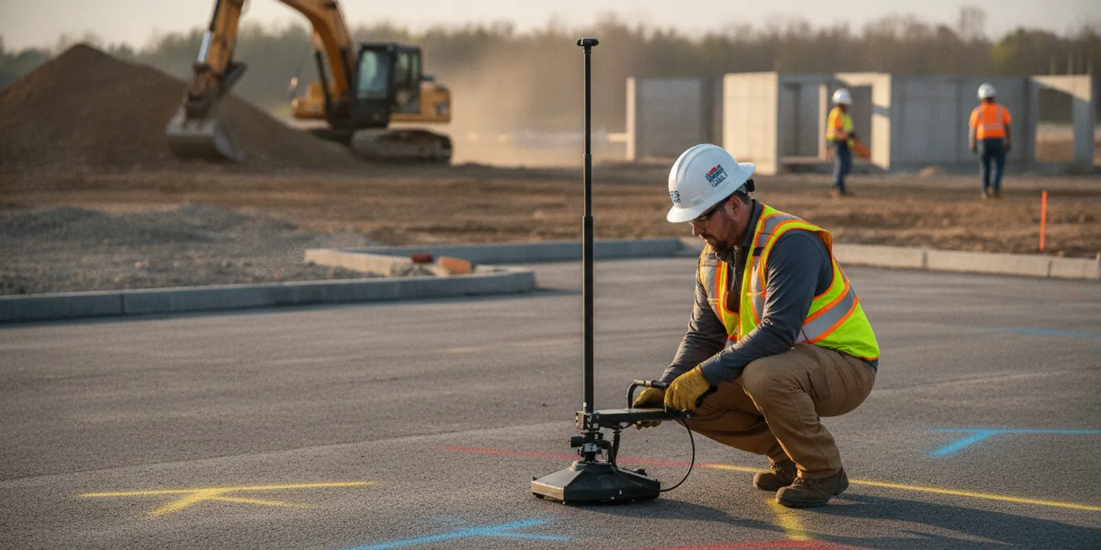
Planning an underground pipe locator Virginia project starts with a practical question: which pipes could affect the planned work, and what information does the crew need before digging? For Virginia contractors, engineers, developers, and facility teams, a clear scope helps target the investigation and coordinate public utility marks with privately owned lines.
Why plan a pipe locate before work reaches the field?
A pipe can cross a proposed excavation even when it does not appear on an old plan or visible site feature. A project may involve water, sewer, storm drainage, irrigation, fire protection, gas, or process lines. Ownership and record quality vary. Some facilities are public; others belong to a property owner, campus, industrial site, or prior project.
That distinction matters because a public one-call request and a private investigation do not necessarily cover the same assets. The 811 process helps arrange marking of participating public utility facilities in its scope. Private facilities on a site may require separate investigation. The project team should confirm the limits of both before relying on markings or records. Safe digging guidance from the Common Ground Alliance supports planning and coordination as part of damage prevention.
Early locating can inform more than the day excavation begins. A design team can use findings to adjust a proposed route, identify a conflict for review, or decide whether additional investigation is needed. A contractor can use them to plan access, potholing, sequencing, and communication with site operations. Findings are evidence for planning, not a guarantee that every underground feature has been found.
SafeLine provides private utility locating as part of its subsurface investigation work. For a broader view of how the team approaches fieldwork and deliverables, see the investigation process.
How do 811 and private locating fit together?
Start with the required one-call process and follow the applicable rules and timing for the excavation. Do not treat a private locate as a replacement for 811, or public marks as a complete inventory of every line on private property. The project lead should identify which facilities the one-call request is expected to cover and what remains outside that scope.
For a commercial site, the uncovered gap may include service lines running from a meter or property boundary to a building, irrigation piping, private fire lines, site drainage, or utilities installed by a tenant or previous owner. Which assets are present depends on the property. Use site records and knowledgeable facility staff to build a working inventory instead of assuming a standard list applies.
Review how private locating differs from 811 when defining responsibilities. If the job includes a home or small property, the homeowner locating overview describes the separate private-line issue in plain terms. For commercial crews, the contractor resource can help frame the project conversation.
What should a Virginia pipe-locating scope define?
A useful scope connects the field investigation to the work that will follow. “Locate all pipes” is usually too broad to guide field effort or judge whether the results are usable. Instead, identify the area, the planned activity, the known or suspected facility types, and the information the project team needs returned.
- Work limits: Provide a current site plan or marked-up aerial with the proposed excavation, access route, staging areas, and any alternate work areas. Include enough reference points to identify the area in the field.
- Planned work: Describe the kind of work, approximate depth or footprint if known, and likely schedule. A narrow bore path, foundation excavation, roadway cut, and broad grading area create different investigation needs.
- Known pipes: List the suspected material, purpose, route, approximate depth, and owner when known. Mark uncertainty clearly rather than presenting a guess as a verified fact.
- Project records: Share utility plans, as-builts, prior survey files, site maintenance notes, and photographs. Note their dates and limitations.
- Deliverables: Specify whether the team needs field marks, photographs, a drawing, map files, or a written summary. State the coordinate or file requirements only when the design or construction team can use them.
- Access and constraints: Identify locked areas, operating facilities, traffic controls, sensitive landscaping, pavement, surface obstructions, and site contacts.
The scope should also state what is not being investigated. For example, a pipe locate is not a pipe inspection, leak test, flow test, or confirmation of the pipe's structural condition. It may help the team understand a suspected route, but it does not establish whether a pipe is active, blocked, damaged, or safe to enter. If those are the questions, arrange the appropriate separate inspection.
SafeLine's private utility locate checklist is a useful starting point for assembling project information. For broader requirements and service options, review the utility locating and mapping services page before finalizing a request.
Which records and site context should the team gather?
Records improve the starting picture, but they should be treated as clues rather than proof of exact location. Older drawings may show design intent rather than the installed route. Later repairs, additions, abandoned lines, and undocumented changes can create differences between a plan and present conditions.
Ask the owner or facility manager for the latest available utility plans, as-built drawings, maintenance records, previous locate reports, and information from people familiar with the site. Check whether plan sheets use a consistent scale and coordinate reference. Keep legends, revision dates, and notes with the files. If two documents conflict, flag the discrepancy for the field team instead of choosing one silently.
Walk the proposed work area with someone who knows how the property operates, where service enters buildings, and which equipment depends on buried utilities. Look for visible clues such as valve boxes, cleanouts, meters, hydrants, utility cabinets, and changes in pavement or landscaping. These observations can guide questions; they do not independently confirm what lies below.
Share the work limits in a legible format and identify the exact areas that are highest priority. If there are several phases, mark them separately. This helps the investigation focus on likely conflicts and makes any limits in coverage easier to understand. The team can also discuss whether additional work is needed where records are incomplete or the project footprint changes.
How can locating methods support a pipe investigation?
Detection depends on the target, its material, depth, surrounding soil, surface conditions, and available access. No single method finds every pipe in every setting. A qualified locating plan selects techniques based on the project question and interprets results alongside records and field context.
Electromagnetic locating can help trace conductive facilities or a signal applied to a compatible line. It may be useful for metallic pipes and other conductive utilities, but a nonconductive pipe does not automatically provide a signal that can be followed. Ground penetrating radar (GPR) uses radar energy to identify subsurface changes that may indicate buried features, including some non-metallic utilities. Its results depend on site conditions and the character of the target. GPR is not a direct visual inspection of a pipe.
Where the project needs a view of the broader utility picture or a usable record of findings, ask whether GPR investigation or utility mapping and documentation may fit the scope. SafeLine describes its equipment and approach in its overview of underground utility locating methods. The appropriate combination should be discussed for the particular site, not assumed from the pipe label alone.
The table below is a planning comparison, not a guarantee of detection. The project team should confirm the intended method, limits, and deliverables before fieldwork.
| Approach | Can help with | Important limitation | Useful scope question |
|---|---|---|---|
| Records and site context | Identifying likely routes, owners, entry points, and areas to investigate | Plans may be incomplete, outdated, or not reflect installed conditions | Which records and site contacts will be provided? |
| Electromagnetic locating | Tracing compatible conductive facilities or a signal applied to a line | Nonconductive pipes may not be directly traceable without a suitable signal path | Is the target conductive, accessible, or otherwise traceable? |
| Ground penetrating radar | Detecting subsurface contrasts that may indicate buried features, including some non-metallic utilities | Results vary with target and ground conditions; interpretation is required | Are surface and soil conditions suitable, and how will findings be documented? |
| Combined investigation | Using complementary information to build a more useful site picture | More methods do not guarantee every feature will be detected | Which project decisions will the combined findings support? |
How do common project situations change the plan?
The investigation should follow the decision the team needs to make. A proposed water-service trench may require a focused look at the route and nearby crossings. A redevelopment parcel may call for a broader review because old site plans, additions, and undocumented changes could affect several work areas. A roadway or parking-lot project may need attention to access, traffic control, and the sequence in which crews can investigate each segment.
For a new building or site addition, share the current design footprint and likely utility connection points. The engineer can identify which conflicts would force a design change and which areas must be understood first. If the footprint is still moving, define a priority zone for the current phase and agree on how revised limits will be handled. This avoids treating a preliminary plan as the final work boundary.
For an active facility, coordinate with operations staff before fieldwork. They may know about critical services, restricted areas, shutdown windows, or recent repairs that are not shown on the drawing set. Record that context in the scope, and make sure the field team knows whom to contact if access or an unexpected feature changes the plan. The site team should not assume that an existing line can be interrupted or exposed without owner approval.
For a linear project, break the route into clear segments and identify crossings, launch or receiving areas, and locations where access is limited. If work progresses in stages, confirm which segment is being investigated and how the next phase will be called in. A segment-based plan makes it easier to discuss coverage and update the work as design details become available.
Across all project types, keep the requested output proportionate to how it will be used. A field crew may need clear marks and a briefing. A design team may need a mapped record for coordination. A project with both needs should say so before work begins, including any preferred file formats or reference information that are essential to the design workflow.
How should teams coordinate fieldwork and construction?
Choose a field window that gives the locating team access to the full agreed work area. Arrange site orientation, gates, escorts, traffic control, and any required safety briefing in advance. Tell the site contact what equipment or surface access is expected, and identify areas that cannot be entered or disturbed.
Keep the proposed excavation limits visible and current. If the design shifts, a staging zone becomes a work zone, or the contractor adds a trench or bore path, communicate the change before relying on earlier results for the new area. A locate is tied to the area and conditions investigated; it should not be assumed to cover work outside those limits.
During construction, brief the people who will use the findings. Explain the marking convention and the meaning of any notes or uncertainty. Preserve field photographs and map files where the crew can access them. If marks are obscured, disturbed, or no longer clear, stop and arrange clarification before proceeding in the affected area. Follow applicable excavation procedures and the site's safety requirements.
For projects across the region, confirm the property's location and access requirements when planning. SafeLine lists its Virginia and Washington, DC service areas; the project contact can discuss whether a particular site and schedule fit.
What should the team do with field findings?
Use findings as an input to design coordination and excavation planning. Compare marked or mapped features with the proposed work. If a possible conflict appears, bring it to the engineer, owner, and contractor responsible for resolving it. Depending on the project's risk and requirements, the team may need additional records review, a revised design, further investigation, or a controlled verification step before excavation.
Ask that findings be described in a way that distinguishes observed indications from assumed connections or ownership. A map or field mark can communicate an interpreted route, but it should not be mistaken for a complete record of every buried asset. Keep the investigation date, limits, and stated exceptions with the deliverable so later users understand its context.
When the work enters a new phase or the design changes, review whether the earlier scope still matches. Newly exposed features, unexpected conditions, or conflicting plans can be important updates. Share them with the project team and determine whether the investigation should be extended or revised before the work proceeds.
When should a project request an underground pipe locate?
Request a project conversation while the work area and schedule can still be shaped. That may be during design, preconstruction, site redevelopment planning, or before a contractor mobilizes for excavation. Early discussion is especially useful when the site has several owners, old records, limited access, or multiple construction phases.
When contacting a locating provider, include the site address, a map of the proposed work, the construction activity, target dates, known utility information, and the type of output the team needs. Explain whether the question is limited to a suspected pipe route or involves a wider underground utility picture. This lets the scope conversation start with decisions and constraints rather than guesswork.
Request a project conversation
Frequently asked questions
Does calling 811 locate every pipe on a Virginia property?
No. A one-call request is important for arranging public utility marking within its scope, but private facilities may need separate investigation. Confirm what is covered for the site and planned work, and do not assume that visible public marks represent every underground line.
Can a locator find a plastic or other non-metallic pipe?
Some non-metallic lines may be investigated using methods such as GPR, depending on site conditions and the target. Electromagnetic locating generally relies on a conductive path or an applied signal. A provider should review the available information and explain which approach may be appropriate; no method guarantees detection of every pipe.
Will locating tell me whether a pipe is leaking or damaged?
No. Locating concerns the suspected presence and route of underground features. It does not establish a pipe's condition, flow, blockage, or leak status. Arrange a separate inspection or diagnostic service for those questions.
What information should I send when requesting a locate?
Send the site address, clear work limits, a description of the planned excavation, target schedule, available utility plans, known site constraints, and requested deliverables. Identify uncertain records and any priority conflict areas so the scope can be discussed accurately.
A well-planned pipe locate gives the Virginia project team a clearer basis for coordinating records, field investigation, and excavation decisions before work begins.