
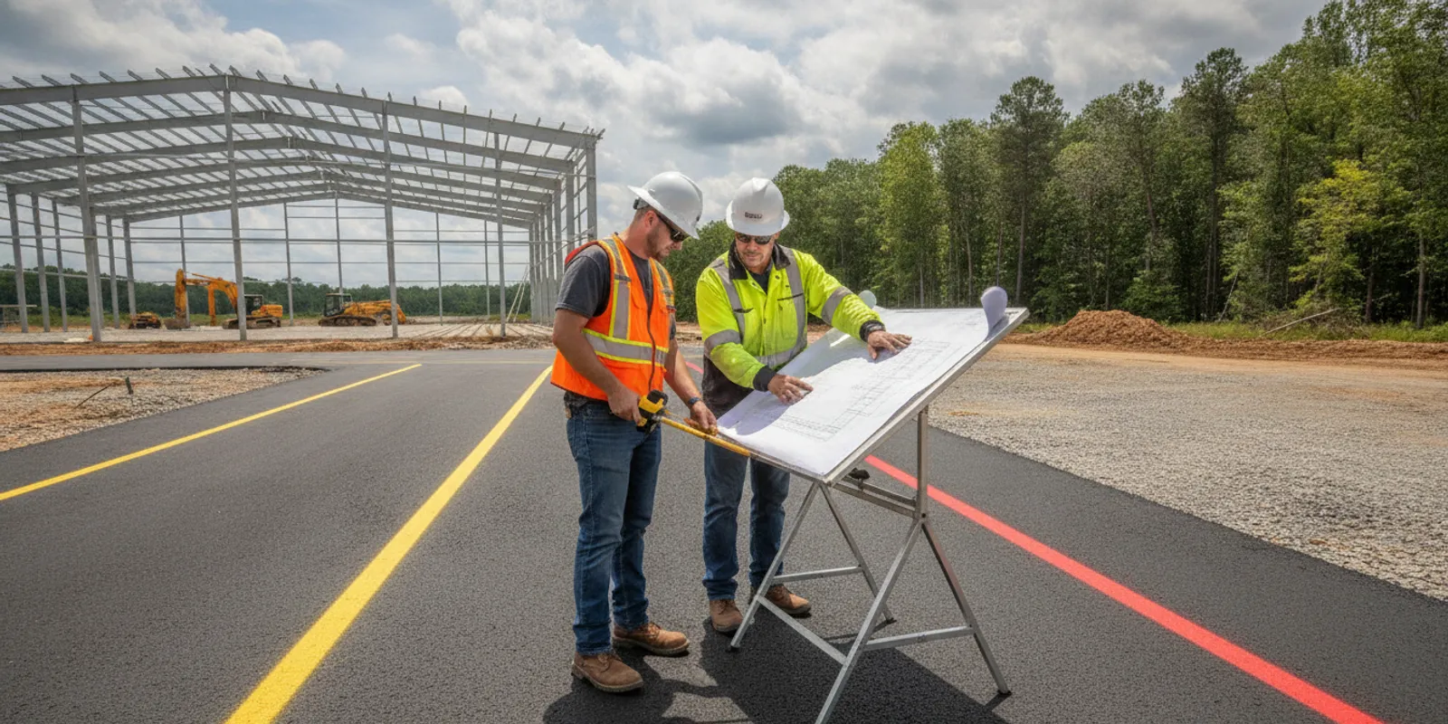
Planning utility locating in North Carolina means more than requesting marks near a work area. Contractors, civil engineers, developers, and construction managers need to understand what public utility notification covers, identify private infrastructure that could affect the work, and decide how field findings will support design or excavation. For teams coordinating work across the Mid-Atlantic, SafeLine provides private locating and related subsurface investigation services in its stated service region, including North Carolina. This guide lays out a practical approach, with a warehouse slab expansion as one example.
Why plan utility locating before the project reaches the field?
Underground infrastructure can affect site layout, excavation sequencing, access, and construction risk. A line that is absent from a drawing or outside a public utility marking response may still constrain where a crew can dig. Planning a private investigation gives the team a way to ask what else may be present within defined project limits and what additional information is needed before work proceeds.
Consider a warehouse slab expansion. The new footprint could be near electrical feeds, lighting circuits, water services, storm drainage, communications, or other site infrastructure. A planned locate may help the design team consider possible conflicts before finalizing foundations, trench routes, or equipment locations. It does not establish that every buried feature can be found, and it should not be treated as a guarantee of exact depth, material, ownership, or continuity. Its value comes from combining a clear question, suitable field methods, available records, and transparent documentation.
The timing matters. If the team investigates only after excavation limits and subcontractor schedules are fixed, a possible conflict can become a late design change or a field delay. An earlier investigation can give the project team more room to compare alternatives, request additional information, or coordinate with an asset owner. SafeLine's private utility locate checklist offers a useful starting point for organizing the questions to resolve before fieldwork.
How do 811 and private locating fit together?
Start with the applicable one-call notification process before excavation and follow the instructions and timing provided for the work. A one-call request coordinates marking of participating utility facilities within the scope of that process. Project teams should not assume the response identifies every privately owned line or site feature. Systems serving a building or parcel may fall outside a public utility's ownership or marking responsibility.
Private locating is a separate investigation that can supplement, not replace, the one-call process. A team planning work in North Carolina should confirm the relevant notification requirements for its exact location and activity, submit the appropriate request, and then assess whether private infrastructure needs to be investigated as well. Keep these information sources distinct in drawings and notes. A public mark, an owner record, a survey, and a private field finding have different origins and limitations.
For example, an 811 response may address the public utility facilities in its jurisdiction while leaving unanswered whether a privately installed line crosses a future slab or trench. The project team can identify that gap by comparing the proposed work area with records, site features, and known service routes, then scope a private investigation for the remaining question. SafeLine explains the difference in its overview of private locating versus 811. OSHA also provides workplace safety resources; project teams should consult applicable excavation safety requirements and site procedures separately from locating deliverables.
What should a North Carolina project scope define?
A useful scope turns a general request to “locate utilities” into a bounded field task. Before requesting a proposal or setting a field date, assemble the project details below. Missing information does not always prevent an initial conversation, but stating what is known—and what remains unknown—helps everyone avoid assumptions.
- Work limits: Provide a current site plan and mark the investigation area. Include proposed trench alignments, bore paths, slab limits, staging areas, and access routes if they could be disturbed. State whether the request covers only the immediate footprint or a wider design area.
- Planned activity: Describe excavation, boring, grading, pavement removal, slab cutting, or other work. Include approximate depths and the expected sequence when known. This helps focus the investigation on the decisions that need support.
- Project phase and purpose: Explain whether findings will inform concept planning, final design, bidding, preconstruction, or active field work. A design team may need mapped context across an area; a crew preparing a defined excavation may need field marks and clear limits.
- Available information: Share utility records, as-built drawings, prior investigation reports, site photographs, survey files, and current one-call ticket details. Identify each document's date and whether it reflects a verified field condition or an older design record.
- Site conditions and access: Note pavement, buildings, fences, landscaping, traffic, restricted zones, active operations, and areas that cannot be traversed or scanned. Identify escort, orientation, safety, and scheduling requirements.
- Deliverables: State whether the team needs field marks, photographs, written notes, a report, digital mapping, or another defined output. Identify who will use the information and how it will be incorporated into project documents.
- Contacts and schedule: Name a site contact authorized to answer access questions and a project lead who can resolve scope changes. Provide the desired field window and any coordination milestones.
These details connect the investigation to a specific decision. They can also expose a mismatch early: for instance, a drawing may show an older building outline while the field team needs to cover a revised slab edge, or a schedule may assume access to a fenced area that requires advance coordination. SafeLine's description of its investigation process and deliverables can help project teams prepare for this scope discussion.
Which records and site context should the team gather?
Before fieldwork, assemble information that can help the investigation team interpret the site. Begin with the latest civil and utility plans, then check whether there are older construction drawings, service records, utility-owner information, prior locate reports, and photographs from earlier phases. A record is useful context, but it should not be treated as proof that a line remains where a drawing depicts it. Note the document date, source, coordinate basis if known, and any uncertainty.
Walk the project area with someone familiar with site operations when possible. Visible features such as meter locations, valve boxes, handholes, cleanouts, poles, panels, and building entries can suggest routes or connection points. These observations help form questions; they do not independently confirm the path of a buried line. Record changes that may have occurred since plans were prepared, including new paving, grading, additions, or utility work.
For a warehouse expansion, make a simple overlay of the proposed slab edge, planned foundations, likely service connections, and the areas where excavation is expected. Mark locations that are inaccessible or where surface conditions may limit investigation. If one drawing uses a different coordinate system or an uncertain site datum, flag that before relying on an overlay. Clear context can make results easier to compare with the design and reduce confusion about which features were investigated.
How can locating methods support the investigation?
No single method detects every utility under every condition. The suitable approach depends on the target, its depth and material, soil and surface conditions, access, and the quality of the available information. Electromagnetic locating can help trace conductive utilities or a tracer wire when a suitable connection or signal path is available. Ground penetrating radar (GPR) can help investigate subsurface changes and certain nonmetallic features, but performance varies with site conditions and target characteristics.
Methods may be combined. Records and site observations can guide the field plan; electromagnetic equipment can trace suitable conductors; and GPR may provide complementary evidence where conditions and the project question make it appropriate. The result is an interpretation, not a direct guarantee about every feature underground. Lines may be difficult to detect if they are inaccessible, nonconductive, unusually deep, congested with other infrastructure, or affected by surface and subsurface conditions.
Ask what the proposed approach can address, what areas will be covered, and what limitations should be carried into the next decision. SafeLine's pages on GPR investigation and utility mapping and documentation describe related service options. The right scope is the one that answers the project question with findings the team can interpret and use—not simply the one that names a piece of equipment.
| Project question | Potential approach | Planning point | Useful output to define |
|---|---|---|---|
| Can a suitable conductive line be traced? | Electromagnetic locating | Confirm access to the conductor or tracer wire and the limits of the trace. | Field marks and a note of the route investigated. |
| Could nonmetallic or uncertain features affect the footprint? | GPR where target and site conditions are suitable | Surface, soil, moisture, depth, and target characteristics affect results. | Mapped observations with limitations stated. |
| Where might conflicts occur across a defined area? | Combined investigation and mapping | Provide current limits and specify the intended design or construction use. | Mapping or documentation in an agreed format. |
| Is the crew preparing to excavate? | Required one-call notification plus private investigation as needed | Follow applicable notification instructions and verify that marks cover the planned work. | Current field information and a clear process for resolving uncertainty. |
How should teams coordinate fieldwork and construction?
Schedule investigation early enough for the team to act on its findings. For design, arrange access before layouts become difficult to change. For active construction, coordinate with the superintendent or site manager so the field team can work safely without disrupting operations or entering restricted areas. A site visit is more useful when the right plans, access, and project contacts are ready.
Before the visit, confirm the location, work limits, site contact, access procedure, traffic controls, and any required orientation. Tell the field team about recent paving, grading, utility work, or other changes since the records were created. Discuss areas that cannot be reached and any obstructions that may affect coverage. If the footprint has changed, issue the revised limits rather than assuming earlier marks or mapping extend to the added area.
After marking, protect marks from removal or obstruction and photograph them when useful to the project record. Communicate any change to proposed excavation or alignment. If marks are damaged, unclear, or no longer visible, stop and follow the applicable verification process before proceeding in the affected area. A locating deliverable is tied to its scope and conditions; it does not automatically apply to a later or expanded work area.
What should the project team do with findings?
Review the deliverable with the people responsible for design, estimating, and construction. Start by confirming what area was investigated, which methods were used, what was observed, and what could not be assessed. Then compare the findings with current design drawings and the records used to plan the work. Flag mismatches for resolution before they become field conflicts.
- Overlay mapped features with the current site plan and proposed excavation limits.
- Identify potential conflicts, uncertain areas, and locations that may need additional investigation or coordination with an owner.
- Carry relevant findings into plans, notes, preconstruction discussions, and field briefings, with dates and source information where useful.
- Keep records of source documents, field marks, photographs, deliverables, and design revisions used to make decisions.
- Reassess if the design, work limits, or site conditions change; earlier findings may not cover new work.
For example, if a mapped feature crosses a proposed footing, the design and construction leads can first confirm that the feature and the planned work share the same location reference and limits. They can then decide whether more investigation, design adjustment, or owner coordination is needed. The locate itself does not make that decision or authorize excavation. Clear documentation helps the responsible project professionals decide what action fits the situation.
Mapping is most useful when its coordinate reference, level of detail, scope, and limitations are clear to the people who will use it. Ask for an output that fits the decision rather than assuming every project needs the same reporting format. The private utility locating service page provides a starting point for discussing project needs.
How do common project situations change the plan?
A warehouse slab expansion is only one of several settings where the planning framework applies. A new service trench may require a narrow, well-defined corridor and coordination with the applicable one-call process. A redevelopment project may involve old records, new construction, and several changes in surface conditions, making it important to compare documents with current observations. A proposed bore or deeper excavation calls for a precise description of the route and anticipated work so the investigation can be scoped to the relevant question.
Concrete work also requires a distinction between embedded items within a slab and buried utilities outside or below it. Those are different investigation contexts and may call for different methods and deliverables. If a project includes both slab cutting and excavation outside the building, describe each area separately rather than assuming one request automatically covers both. SafeLine's service overview describes its utility locating, GPR, and mapping scope.
Keep the requested area proportional to the decision. A focused corridor can be practical for a defined trench, while a wider design area may be relevant when the layout is still being evaluated. Avoid requesting an entire property by default if the project only needs a bounded area, but do not leave out access routes or staging areas that will be disturbed. The goal is to align coverage with actual planned work.
How should a team manage changes to the work area?
Scope changes are common as a project develops. A shifted slab edge, relocated service, added access lane, or revised excavation depth can change what needs to be reviewed. When a change occurs, compare the revised drawing with the original limits and identify whether the modified area was investigated. Do not extend field marks or a mapped route by assumption.
Use a simple change check: note the revision date, highlight added or shifted work, compare it with the investigation limits, and ask whether additional coverage or verification is needed. If the field team cannot tell whether a change is within scope, route the question to the project lead and locating provider before treating earlier findings as applicable. Maintain the prior deliverable and clearly label the updated information so field users can distinguish current from superseded material.
This approach is especially helpful when excavation is phased. A locate completed for an early utility trench may not cover a later building addition. A site plan should make each work package and its associated investigation limits easy to identify. Updating the plan as the design evolves helps prevent a team from relying on marks that no longer correspond to the planned activity.
When should a project request utility locating?
Request a project conversation when buried infrastructure could affect a planned design or excavation and available information is incomplete, unclear, old, or not specific to the work area. Earlier planning gives the team more opportunity to coordinate access, evaluate conflicts, and decide whether more information is needed before construction pressure increases.
When contacting SafeLine, provide the project location, type of work, limits, approximate depth, schedule, known records, one-call information, site constraints, and preferred deliverable. Its service areas page describes regional coverage, and the frequently asked questions page can help prepare a project inquiry. You can also review the contractor information and the subsurface resources before gathering project documents.
Request a project conversation
Frequently asked questions
Does private locating replace an 811 request?
No. Private locating is a separate investigation and does not replace required one-call notification. Follow the applicable notification requirements and use private locating to address relevant site infrastructure that is outside the public marking scope or needs additional investigation.
Can GPR find every buried utility?
No. GPR performance depends on the target, depth, soil and surface conditions, and access. It should be considered as one possible method within a defined investigation, not as a guarantee that every line will be detected.
What should we send when requesting a locate?
Send a current site plan with investigation limits, a description of planned work and approximate depth, the schedule, access constraints, available records, one-call information, and the deliverable the team needs. Identify what decision the findings will support and point out any known gaps in the documents.
When should we schedule the investigation?
Schedule early enough for findings to inform design or construction planning. If the work area or site conditions change after the investigation, compare the revisions with the original limits and confirm whether additional coverage is needed.
A well-defined investigation complements public utility notification by helping the project team examine site-specific conditions, document uncertainty, and carry useful information into the next design or construction decision.