
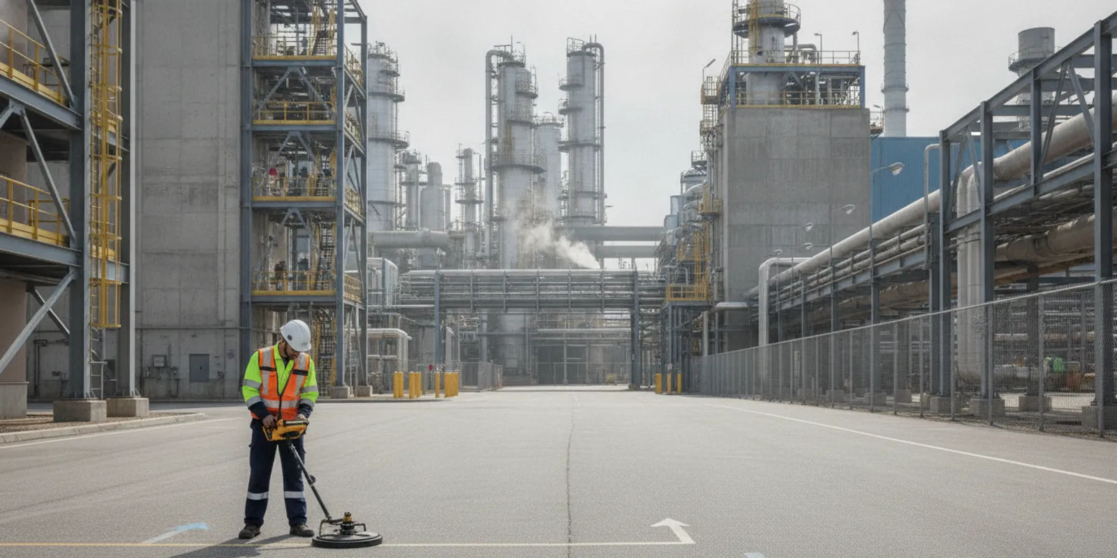
Industrial utility locating helps project teams understand what may be below a work area before excavation, drilling, grading, or installation begins. On an operating facility, that task is not only about finding lines. Teams also need to define the work limits, account for active operations, gather records, and share usable findings with the people doing the work.
Discuss your industrial locating scope
Why should industrial teams plan locating before work is scheduled?
Industrial sites can include a mix of public and privately owned infrastructure, active process lines, electrical feeds, drainage, and utilities installed during different phases of a facility’s history. Records may be incomplete, and a planned work area may cross roads, loading zones, equipment pads, or restricted operating areas.
Call 811 as required before excavation. Public utility marking and private locating address different parts of the picture. 811 generally marks participating facility-owned lines within its scope; it does not replace investigation of private infrastructure on a facility. Review how private locating and 811 differ when establishing responsibilities.
The Federal Highway Administration’s discussion of utility locating survey methodology and planning procedures reinforces the importance of planning the investigation around project needs. For an industrial project, early coordination also gives the site team time to arrange escorts, access, traffic control, and operational restrictions.
What should the industrial locating scope answer?
Before requesting a locate, identify the actual decision the field team needs to support. “Locate the site” is too broad for a useful scope. Describe the planned work and define the limits in a way that can be recognized in the field.
- Work activity: State whether the work involves excavation, new foundations, trenching, fence installation, a utility tie-in, or another activity.
- Limits: Provide a site plan or marked-up drawing showing the work footprint, anticipated access route, and any alternate work areas.
- Depth and method: Share the expected excavation depth and whether the work will use hand tools, mechanical excavation, boring, or another method.
- Schedule: Identify the date when marks or documentation are needed and any outage, shutdown, or contractor mobilization window.
- Deliverable: Clarify whether field markings, photographs, a report, or mapped documentation will help the design and field teams.
- Constraints: Note restricted zones, hazardous areas, security check-in, vehicle routes, and areas that cannot be accessed during normal operations.
Share the pre-excavation locate checklist with the project lead so the request includes practical site details. For broader service context, review utility locating, GPR, and mapping services.
What records and site information should a facility assemble?
Collect whatever reliable information already exists, even if it is incomplete. Useful items include current and historic utility plans, as-built drawings, prior locate reports, facility maps, equipment or building plans, and records of previous repairs. Identify the source and date of each record when known.
Mark the proposed work area on the plan rather than assuming the field team will infer it from a large site drawing. Add known line endpoints, valves, meters, manholes, cleanouts, transformers, and equipment connections when they are relevant. These features can help guide field investigation, but they do not confirm the route or depth of a buried line.
Walk the scope with the facility representative if possible. Confirm site access, check-in instructions, escort requirements, and the locations of operating equipment. Make sure the project team distinguishes known utilities from assumptions. This avoids treating a sketch or an old record as field verification.
How do EM locating and GPR support an industrial investigation?
Different methods respond to different conditions. Electromagnetic (EM) locating can trace conductive utilities when a usable signal is available. Ground penetrating radar (GPR) can help investigate subsurface features, including some non-metallic utilities, depending on site and soil conditions. The appropriate approach depends on the target, access, surface conditions, and available information.
| Approach | Most useful context | Planning consideration |
|---|---|---|
| EM locating | Tracing conductive lines or a line that can be accessed for signal application | Signal access, interference, and nearby conductive infrastructure can affect the work. |
| GPR | Investigating subsurface features where radar conditions and access are suitable | Soil, surface materials, congestion, and target characteristics influence results. |
| Records and site review | Providing context, known routes, and likely utility connections | Records should guide investigation, not be treated as confirmation of current field conditions. |
Methods are not interchangeable guarantees of detection. A combined approach may be appropriate when the scope includes different utility types or site conditions, but the investigation plan should be matched to the specific question. Read more about the difference between GPR and electromagnetic locating and GPR investigation considerations.
How can locating fit around active operations?
Coordinate fieldwork with the facility’s operations and safety contacts. The project lead should identify who can authorize access and who can explain site-specific controls. Discuss vehicle movement, production schedules, restricted areas, and any areas where scanning or marking must pause.
Where work is near traffic or equipment movement, agree on safe access and a clear route before the field visit. Keep the locate limits visible to the field team, and notify them if the planned work area shifts. A locate completed for one footprint should not automatically be assumed to cover a later expansion or a different excavation route.
For phased work, break the project into practical work areas and state which area is urgent. This helps the team prioritize the investigation and makes it easier for construction supervisors to connect findings to the correct phase. SafeLine’s investigation process and deliverables page describes the general steps and outputs to discuss when planning a project.
What should the team review when fieldwork is complete?
Before excavation begins, confirm that the marks or documentation correspond to the current work limits. Review field findings with the project lead, supervisor, and excavation crew. Ask what was investigated, what the marks represent, and whether any areas were inaccessible or inconclusive.
- Check that the marked area matches the latest drawing and work plan.
- Share photographs or reports with the people responsible for excavation and site safety.
- Identify uncertainties, access limitations, or areas requiring additional investigation.
- Communicate any design or schedule change that affects the work footprint.
- Maintain required 811 tickets and follow applicable excavation and safe-dig procedures.
Utility locating provides information to support planning; it does not remove the need to follow applicable safe excavation practices or to verify conditions as work proceeds. If the project scope changes, stop and reassess whether the existing information applies.
How should teams plan different industrial work scenarios?
The same facility can have very different locating needs depending on the work activity. A small repair beside a known service line is not the same as a new process area, a long trench, or a series of phased improvements. Compare the decision each scenario requires, then provide the matching limits and information.
| Work scenario | Useful scope detail | Coordination question |
|---|---|---|
| Equipment replacement | Equipment footprint, anchor or connection points, and any excavation or drilling depth | Can operations isolate or provide access around adjacent lines and equipment? |
| New trench or conduit route | Proposed alignment, entry and exit points, alternate paths, and expected work method | Does the route cross active traffic, fenced zones, or process areas? |
| Drainage or paving work | Limits of grading, pavement removal, catch basins, and tie-in locations | Can the work area be separated from ongoing vehicle movements? |
| Multi-phase expansion | Phase boundaries, sequence, target dates, and priority area | Which findings must be available before design freeze or contractor mobilization? |
These scenarios are planning prompts, not a substitute for a project-specific investigation. If a proposed alignment changes after field review, communicate the new line of work and decide whether the existing investigation covers it. A clear change-control step prevents crews from relying on markings that do not correspond to the revised plan.
How can a facility make findings useful to designers and field crews?
Information has value only when the people making decisions can interpret and apply it. Decide early how findings will move from the field team to the project engineer, facility owner, construction supervisor, and excavation crew. Use one current plan set or clearly identify the revision so old drawings do not circulate as if they were current.
For design coordination, attach findings to the area and proposed work they address. Distinguish observed field indications from record-based information and from locations that could not be investigated. If the work is phased, label each area consistently across drawings, reports, and meeting notes. That makes it easier to identify which findings apply to a given construction package.
For a field handoff, review the findings with the supervisor before equipment arrives. Explain what markings or documentation represent, where uncertainty remains, and whom to contact if the work limits change. Keep site-specific access and safety requirements alongside the locate information rather than separating them from the work package.
Where the project needs a durable record for later maintenance or design, ask whether mapping or documentation should be part of the requested deliverable. SafeLine’s utility mapping and documentation service information can help the team consider those output needs. Do not assume that a field mark alone is an enduring record of all subsurface conditions.
When should an industrial team request locating?
Request the investigation early enough to resolve access and scope questions before the construction window. Useful timing depends on the project schedule, operational controls, work area size, and whether records or approvals need to be assembled. For planned capital work, make locating part of early coordination rather than waiting until crews are mobilized.
Maintenance teams may need to plan around outages, equipment access, or narrow repair windows. A request made before those dates gives the project team a chance to define the footprint and coordinate escorts. For urgent work, communicate the actual deadline and access limitations instead of assuming the field team can infer them from the word “urgent.”
Revisit the scope when a work area expands, a proposed route moves, the excavation method changes, or a project is delayed enough that the site conditions or work plan may have changed. A review can establish whether the prior findings still address the current question or whether additional fieldwork is appropriate.
How should teams prepare a locating request?
A useful request combines project context, field limits, available records, schedule, and requested outputs. Before contacting a locating provider, assemble these items:
- Facility name and address, plus a project contact who can answer field questions.
- A marked site plan showing the work footprint, proposed route, and access points.
- Work activity, anticipated depth, excavation or drilling method, and target date.
- Available utility records, prior reports, and any known site constraints.
- Check-in, escort, vehicle, operating-area, and safety requirements.
- Preferred deliverables, such as field markings, photographs, written findings, or mapping.
- Any alternate work areas or project phases that may follow.
For a request involving a large site, identify the first area that needs a decision and send the rest as phased context. Include the person who can confirm access and the person who will use the result to direct field work. This avoids losing time to repeated clarification and helps keep the investigation tied to the actual construction question.
Review the SafeLine frequently asked questions for general service information and use the project contact page to discuss a site-specific request.
What should project teams ask before fieldwork starts?
A short pre-mobilization conversation can expose gaps that are easy to miss in a drawing review. The goal is not to add paperwork; it is to make sure the field visit can answer the project’s actual question. The project lead can use a simple agenda with the facility representative and the locating team.
- Confirm the work limit: Point to the exact excavation footprint and route on a shared plan. Identify whether the crew may widen a trench, shift equipment pads, or use an alternate access path.
- Agree on access: Confirm entry gates, check-in time, escorts, parking, restricted zones, and whether the field team needs a site contact during the visit.
- Review operating conditions: Identify traffic peaks, production activities, shutdown windows, and any locations where work must pause or be rescheduled.
- Set output expectations: Decide whether the project needs field marks only or also photographs, a written summary, or mapped information. Specify who receives and stores each item.
- Plan for unresolved areas: Discuss how inaccessible or inconclusive locations will be recorded and who will decide whether the design or work method needs to change.
For example, a planned trench from a utility room to a new equipment pad may cross a truck route and a controlled process area. The team can mark both endpoints and the intended alignment, identify a safe crossing window, and ask operations to provide an escort. If a route cannot be scanned while equipment is moving, the schedule should include a suitable access period rather than treating that limitation as a field-day surprise.
For equipment replacement, the key question may be narrower: where are the anticipated anchor points, and will any drilling or excavation extend beyond the existing pad? Providing those limits helps the investigation focus on the area that could be disturbed. If design later adds a second pad or moves the connection, notify the team rather than extending prior findings by assumption.
How should teams manage uncertainty and changes?
Industrial projects often develop as drawings, equipment selections, and access plans are refined. A locating package should therefore be treated as information tied to defined conditions, not a blanket clearance for all future work across a property. Keep the drawing revision and date with the findings so everyone can see what plan the investigation addressed.
When a discrepancy appears, record the location and describe the conflict plainly: for example, the record drawing shows a line along one side of a corridor while field indications appear elsewhere. Do not quietly edit a plan to make it look settled. Route the question to the project engineer or facility owner, then decide whether to collect more information, revise the work path, or proceed under the site’s established controls.
Use a simple change review when any of these details shift:
- The trench, bore, footing, or equipment footprint moves beyond the investigated limits.
- The construction method changes in a way that affects the area or depth of disturbance.
- A new phase adds excavation near infrastructure that was not part of the original request.
- Operations or access conditions prevent completion of part of the planned investigation.
- New records or exposed utilities alter the assumptions used during design.
The responsible project lead can compare the revised plan with the original scope and findings, then document whether further investigation is needed. This small review step keeps decisions traceable and avoids relying on markings simply because they are visible on the ground.
Frequently asked questions
Does an industrial project still need to contact 811?
Yes. Follow the applicable 811 notification requirements before excavation. Private locating is a separate layer of investigation for infrastructure that may not be included in public utility marking.
Can one locate cover an entire industrial property?
Not necessarily. The useful scope depends on the work area, target utilities, access, and requested deliverable. Define the specific footprint and update the request if the work moves or expands.
Can GPR find every buried utility?
No method can be assumed to find every utility under every condition. GPR performance depends on the site and target, while EM locating depends on a suitable conductive signal. Share the project question and site conditions so the investigation can be scoped appropriately.
What if facility drawings conflict with field observations?
Flag the discrepancy and make sure the design and field teams understand it before work proceeds. Treat records as context rather than proof of current location, and determine whether additional investigation or a revised plan is needed.
Good industrial utility locating starts with a defined work area, useful records, and coordination with the people who operate and excavate at the site. Prepare those details early so the investigation can support a safer, better-informed project plan.