
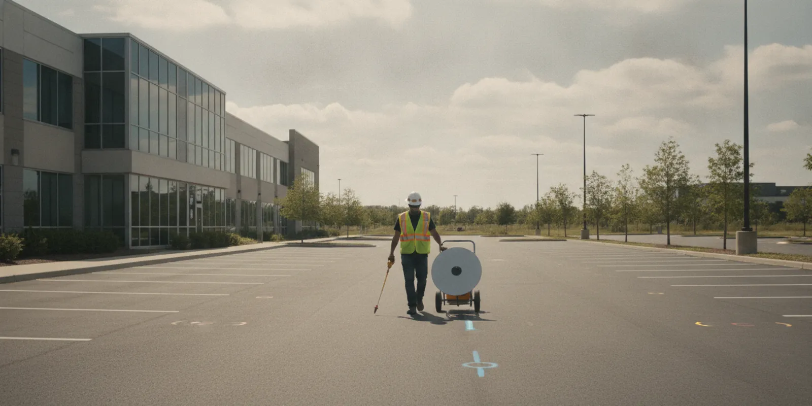
Planning an EV charging project often means more than choosing a place for charging equipment. If the work includes trenching, boring, or other ground disturbance to route underground electrical infrastructure, utility locating for EV charger installation can help the project team identify subsurface conflicts before excavation begins. The key is to define the proposed work area and the decisions the locate needs to support.
Contact SafeLine to discuss your EV charger site
Why does utility locating for EV charger installation belong in the plan?
Charger projects can involve new equipment near a building, along a parking row, in a garage, or in a separate parking area. When a project requires a new underground route between a power source and the planned equipment, excavation may cross existing site utilities. Those lines may serve lighting, signs, gates, irrigation, communications, or other site features. An unknown line in the route can force a redesign, disrupt work, or create a safety risk if struck.
Public one-call marking is an essential step before excavation, but it may not identify every privately owned line on a property. 811 generally marks utility-owner facilities within the scope of the one-call request; it does not provide a complete inventory of every private utility across a site. A parking lot may contain owner-installed or site-specific infrastructure that needs a separate investigation. Read how private locating differs from 811 to understand why the two steps serve different purposes.
Private utility locating is particularly worth considering when the proposed route leaves a building, crosses private parking or landscaped areas, connects equipment in a separate structure, or is part of a larger site improvement. It is not a substitute for calling 811 or for the project’s electrical design. It is a way to gather additional subsurface information about the private work area before the ground is disturbed.
For general background on coordinating EV charging infrastructure, the U.S. Department of Energy’s Alternative Fuels Data Center provides information about procurement and installation for electric vehicle charging infrastructure. A separate EV charging installation planning resource discusses locating a service entrance near the parking area where power is needed. These resources address project planning; they do not determine which private lines are present at a particular property.
Think of the locate as one input to a coordinated plan, rather than a stand-alone approval to dig. The owner may know where older site work occurred, the designer may be comparing alignments, and the excavation contractor needs clear limits for the work area. Bringing those perspectives together early can help the team spot unanswered questions while route adjustments are still being considered. The locating scope should reflect the actual ground disturbance being evaluated, not just the final equipment footprint.
What should the locating scope answer?
A useful scope starts with a decision, not a broad request to “locate everything.” The project team should explain what will be built and where crews may disturb the ground. They should also state what information they need to proceed. The locate area should reflect the actual construction footprint, including reasonable room for access and work, rather than only the point where a charger is expected to stand.
- Where is the proposed equipment? Identify charger locations or reasonable alternatives, parking rows, buildings, electrical rooms, and any other relevant landmarks.
- Where might excavation occur? Show the planned route, trench limits, bore locations, crossings, connection points, and areas where the route could shift.
- What is the project stage? A conceptual layout may call for a broad investigation area; a nearly final route may need focused coverage along its alignment and at planned crossings.
- What needs to be documented? State whether the team needs field markings, photographs, a written report, mapping, or information to support coordination with the designer and contractor.
- What are the site conditions and constraints? Note pavement, landscaping, restricted-access areas, active operations, known utility records, and any limits on when the field team can work.
These details help a locating provider assess whether the requested area is clear, whether access has been arranged, and which methods may be appropriate. A clear scope also helps the owner, designer, and installer compare the same work area when they review findings or discuss route changes. SafeLine’s investigation process and deliverables page outlines how project information and field findings can be organized.
For example, a plan that shows only charger symbols may leave the route between the electrical source and each charger undefined. Add a corridor or mark alternate corridors, then indicate where trenching could turn, cross a drive aisle, or connect to existing infrastructure. If the route is not settled, label the options A and B and state whether the team wants both investigated. This avoids treating a mark along one alignment as information about a different, unexamined path.
When should the team request utility locating for EV charger installation?
Requesting information early gives the project team a chance to consider conflicts while route options are still open. If a locate is postponed until the contractor is ready to trench, a discovered conflict may leave fewer practical choices. Early investigation can inform coordination and planning, but it does not eliminate the need to verify the final excavation area and maintain appropriate controls in the field.
- During feasibility planning: Identify likely charger zones, candidate routes, and site areas that may require ground disturbance. If more than one route is under review, show the alternatives rather than asking the field team to infer them.
- As the layout develops: Update the planned area when the design team narrows equipment locations or changes the route. A locate of one alignment does not automatically cover an uninvestigated alternate.
- Before construction coordination is finalized: Share available records and investigation results with the people responsible for design, scheduling, and excavation. Ask which conflicts need further review or a change to the proposed route.
- Before excavation: Complete the applicable one-call process, confirm the work area and markings are current for the planned work, and brief the crew on site-specific findings and limitations.
Project teams should also account for changes after a field investigation. If the charger location moves or the trench route changes, compare the new footprint with the area investigated. Do not assume that a mark or report covers ground outside the described scope. The private utility locate checklist can help organize information to share before a locate is requested.
Build time for review into the project sequence. After findings are available, the designer or owner may need to assess whether a potential conflict changes the preferred route, and the contractor may need a revised plan or a field briefing. That review is easier to schedule before crews and equipment are mobilized than after work has reached the affected area. For phased installations, identify which lots, rows, or buildings are in each phase so the scope and work sequence remain aligned.
How do EM locating and GPR support the investigation?
Method selection depends on the site, the information available, the target being investigated, and the deliverable the project needs. Electromagnetic (EM) locating equipment can help trace conductive utilities when conditions and access allow. Ground penetrating radar (GPR) can help investigate subsurface features, including some non-metallic utilities, but results depend on site conditions and the target. Neither method should be treated as a guarantee that every buried object or utility will be detected.
Using both methods may provide complementary information on a site where different utility materials or conditions are expected. A locating provider can review the requested scope and explain what the available methods may and may not resolve. For more detail, see SafeLine’s guides to GPR investigation and the difference between GPR and electromagnetic locating.
Records, surface features, and access also matter. Existing drawings can point investigators toward known routes, but drawings may be incomplete or may not reflect later site work. Visible equipment, utility markers, and building entry points can provide context. The field investigation should be planned around the specific question and interpreted with those sources of information, rather than treating any one record or instrument reading as a complete site map.
Ask how results will be communicated. Depending on the scope, useful outputs may include field markings, photographs, notes about areas investigated, and mapped information. A project that needs coordinated design decisions may benefit from a defined documentation format. SafeLine describes its utility mapping and documentation services separately from field locating, so the team can consider what record will be useful after the site visit.
When reviewing a proposed method, explain the surface and access conditions rather than assuming the site is uniform. A paved drive aisle, a landscaped strip, and a crowded equipment area can present different field constraints. Ask the provider to identify the intended coverage, any inaccessible portions, and how uncertainty or limitations will be conveyed. These questions help the team understand what conclusions the investigation can support and where additional review may be warranted.
How do common EV project situations compare?
The amount and type of locating work depend on the ground disturbance planned, not simply on whether a project is labeled an EV charger installation. A project using an existing route may have different subsurface questions from one that proposes a new trench across a parking area. Use the table as a scoping aid, then confirm the actual work limits with the design and field teams.
| Project situation | Subsurface question | Planning focus |
|---|---|---|
| Equipment near a building with a proposed new route | What private utilities may cross the route from the building toward the equipment area? | Show the route corridor, connection area, and any alternatives that may be used. |
| Chargers planned along a parking row | Could existing site utilities or other buried features conflict with trenching along the row? | Define the full work limits, including crossings and areas where equipment may be placed. |
| Several parking areas or buildings in one project | Are the proposed routes and work areas distinct, and is each area included in the scope? | Provide a separate, clearly labeled plan for each area and identify shared corridors. |
| Route changed after initial investigation | Does the revised alignment remain within the area already investigated? | Compare the revision with documented limits and request additional review where needed. |
| Work near active site operations | How can field access and excavation planning account for occupied or restricted areas? | Coordinate site access, timing, safety requirements, and communication with the field team. |
The table is not a substitute for site-specific design or excavation planning. It helps the project team describe the questions that a private locate may address and identify where additional coordination is needed. If a project involves multiple routes or phases, label them clearly so that findings are not mistakenly applied to an area that was not part of the investigation.
Consider a simple comparison during design review. If the shorter route crosses an area with uncertain existing infrastructure, and a longer alignment follows a previously developed corridor, compare the information available for both paths before selecting one. Locating findings do not make that choice automatically, but they can give designers and owners a clearer basis for deciding what to investigate further or discuss with the contractor.
What should the project team provide when requesting a quote?
Share the information that allows the locating provider to understand the site and the intended work. A complete request does not require a perfect final design, but it should make uncertainty visible. If the route is still being evaluated, say so and identify the options under consideration.
- A site plan or aerial image showing the property, proposed charger locations, and the investigation boundary.
- A marked-up drawing of possible trench or bore routes, connection areas, and anticipated crossings.
- Available utility records, prior locate reports, as-built drawings, or other relevant site documents.
- Information about surface conditions, access restrictions, operating hours, and any areas that cannot be entered.
- The decision the findings will support, the desired schedule, and the documentation the project team expects to use.
- A contact who can answer site questions and coordinate access for the field visit.
It can also help to identify what is unknown. For example, a team may know the preferred charger locations but still be comparing two possible routes. Stating that clearly gives the provider a chance to discuss whether both options should be considered. Similarly, if drawings are old or the site has changed, disclose that context rather than presenting the documents as verified field conditions.
For a contractor-focused view of planning and coordination, see subsurface intelligence for contractors. Homeowners coordinating a charger project on a private property can also review SafeLine’s private utility locating information for homeowners. The project scale may differ, but clearly communicating the planned ground disturbance remains useful in either case.
Before sending the request, check that the drawing can be read without verbal explanation. Use a legend for proposed routes and alternatives, label buildings or parking zones, and include a north arrow or other orientation when available. Mark any no-access areas and note whether the requested work is one visit or a set of phased areas. A short description alongside the plan can explain why the team is requesting locating and which decision is pending. This small preparation step helps avoid a quote based on an assumed boundary that does not match the intended field scope.
How should the team use findings before excavation?
Make the investigation results available to the people who will make design and field decisions. The owner, electrical designer, general contractor, and excavation crew may each need different parts of the information. Keep the original report or documentation with the project records and make sure field personnel understand the limits of the investigated area.
Use findings to prompt questions, not to assume a conflict has been solved. If a possible utility overlaps the proposed route, the design or construction team may need to evaluate a route adjustment, additional investigation, or another suitable response. The appropriate decision depends on the project and the applicable requirements. A locating report is information for planning; it is not authorization to excavate or a replacement for required safety procedures.
Before work starts, compare the actual stakeout with the investigated area and the current plan. Confirm that route revisions have been reviewed, that markings and documentation can be understood by the crew, and that the required one-call steps have been completed. If site conditions or the planned limits change, pause to clarify what information applies. A brief, documented handoff can prevent the design team’s assumptions from being lost between planning and field execution.
Teams can also make future phases easier to coordinate by retaining the final route, locate records, field photographs, and notes on changes. This documentation may help with later work on the same property, though it should not be treated as permanently current or as coverage for a new excavation area. Recheck the scope and conditions when another phase is planned.
Request a private locate for your EV charger project
Frequently asked questions
Does 811 locate every underground utility at an EV charger site?
No. One-call services notify participating utility owners and mark facilities within the applicable scope, but private, owner-installed utilities may not be included. Follow the required 811 process and determine separately whether a private investigation is appropriate for the property and proposed work.
Do all EV charger projects need private utility locating?
Not every project has the same ground-disturbance scope. A project that uses an existing route may raise different questions from one that requires new trenching across a parking area. Review the proposed work area, available records, and project needs with the responsible team to decide whether private locating should be included.
Can GPR identify every buried utility?
No detection method can be assumed to find every utility or buried feature in every condition. GPR and EM locating have different capabilities and limitations, and results depend on the target and site conditions. Ask the provider which method or combination fits the investigation question and how limitations will be documented.
What if the proposed trench route changes after locating?
Compare the revised route with the documented investigation limits. If the new alignment extends beyond the area investigated or changes the question the fieldwork addressed, request review of the additional area before relying on the earlier findings.
For project-specific planning, share the proposed charger locations, ground-disturbance area, and available site records with SafeLine through the contact form. Clear scope and coordination help the project team use locating information appropriately before excavation begins.