
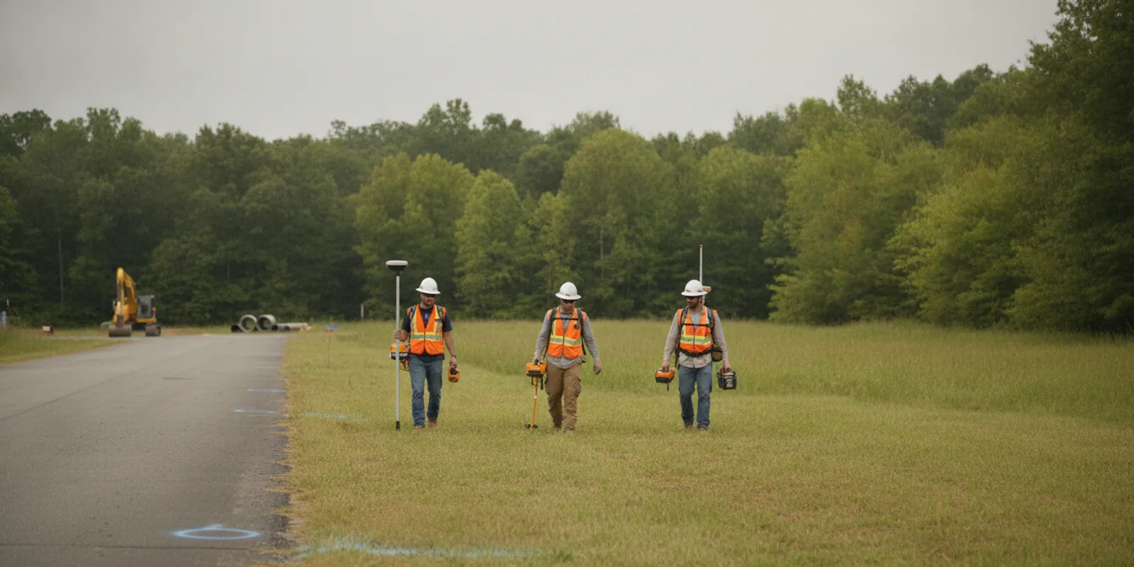
Knowing how to locate underground utilities starts with the proposed work, not with a single map or device. For a commercial project, define where excavation or drilling may occur, request public utility marks through the applicable 811 process, and consider what private infrastructure may remain unmarked. Then coordinate a field investigation that fits the question, and carry its findings and limitations into design and construction planning.
Discuss your project locating needs
Why plan utility locating before work reaches the field?
A useful locate is tied to a defined work area and a decision. A building footprint, trench route, pole installation, access road, or service connection may each require a different scope. A broad parcel boundary does not necessarily show where crews will excavate, bore, drill, grade, or stage equipment. When proposed work is not fixed, label limits as preliminary and identify likely alternatives.
Start by marking up a current plan. Show the limits of disturbance, route and width of linear work, proposed connection points, and excavation depth when known. Include staging and access areas if they may be disturbed. This helps everyone distinguish the investigation area from the broader parcel and clarifies what remains outside the request.
- Identify the exact work area and nearby areas that could be affected.
- List planned excavation, boring, drilling, grading, or installation activities.
- Note schedule milestones, access restrictions, active operations, and safety requirements.
- State what decision the findings must support: route selection, design coordination, or construction planning.
For example, a proposed electrical duct bank may have a preferred alignment and a backup route. If only the preferred path is shown, later design changes may extend beyond the investigated limits. Showing both alternatives lets the team decide whether to include both or phase the work. For an overview of stages and deliverables, review SafeLine’s investigation process. The private utility locating service page provides context for project-specific field support.
How do 811 and private locating fit together?
Before excavation, follow the applicable 811 one-call process, including the jurisdiction’s request timing and response requirements. The service coordinates public utility marking within its scope. Those marks do not necessarily show privately owned lines on a site, such as irrigation, landscape lighting, private electrical feeds to outbuildings, pool connections, or private water and sewer infrastructure.
Treat public marking and private locating as complementary steps. Submit the 811 request with accurate work limits, wait for required responses, and keep ticket details with the project record. Separately assess whether private or otherwise unmarked infrastructure may be present. The Washington Utilities and Transportation Commission describes the call-before-you-dig process at Call Before You Dig; project teams must confirm the procedure that applies where their work is located.
Private locating can investigate infrastructure beyond public marking coverage, but it does not replace 811. Neither historic records nor field indications guarantee that every buried feature has been identified. SafeLine’s page on private locating versus 811 explains the different roles. In practice, maintain separate records for the one-call ticket and any private investigation so that a reviewer can see which source supports each mark or mapped feature.
Which records and site context should the team gather?
Existing information helps a field team focus its investigation and interpret what it observes. Gather available records, but label each by source, date, and confidence. An old plan can suggest where to look; it should not be treated as proof of current position or condition.
- Current civil, utility, landscape, and site plans, including revision dates.
- Available as-builts, utility-owner records, prior locate reports, and survey information.
- Known meters, valves, cleanouts, pull boxes, cabinets, service entrances, and equipment pads.
- Visible clues such as repaired pavement, trench lines, utility entrances, or abandoned structures.
- Known site changes, including demolition, additions, reroutes, and previous construction.
- Project contacts who understand access, operating systems, and restricted areas.
Keep record-based assumptions separate from field indications and features supported by additional investigation. If a drawing conflicts with an observed indication, preserve the conflict for review instead of silently choosing one version. This helps designers and construction managers see where certainty is limited.
A practical way to organize a record package is to create a short index: document name, date, area covered, source, and any known limitation. For instance, an as-built that covers the original building but not a later addition should be tagged accordingly. A survey showing visible structures can help orient fieldwork, but it may not document buried infrastructure. SafeLine’s private utility locate checklist can help organize information. For regional planning context, see the Virginia private locating guide.
How can locating methods support the investigation?
Methods have different strengths and constraints. Electromagnetic locating is suited to conductive lines or lines that can be accessed and traced with an appropriate signal. Ground penetrating radar (GPR) can produce subsurface indications that may include some non-metallic features, depending on site and material conditions. Site clutter, surface materials, access, target properties, and depth can affect what is detectable and how a response should be interpreted.
Method selection should follow the target and the project question. A team may use more than one approach where appropriate. For instance, a project team planning a new service trench might share the route, tie-in points, available plans, and expected work depth. The investigation scope can then address whether accessible conductive lines can be traced and whether additional scanning is suitable for the site. It should also state how inaccessible sections or inconclusive indications will be reported.
| Approach | Can support | Key consideration | Useful project input |
|---|---|---|---|
| 811 one-call marking | Notification and marking of public facilities within the local program’s scope | Does not necessarily cover privately owned site infrastructure | Work limits, excavation details, timing, and jurisdiction |
| Electromagnetic locating | Tracing suitable conductive utilities or accessible lines with a signal | Access, conductivity, interference, and conditions affect results | Known access points, plans, and target information |
| Ground penetrating radar | Subsurface investigation that can indicate buried features, including some non-metallic utilities | Ground, surface, depth, and clutter affect detection and interpretation | Defined scan area, surface access, and the question to investigate |
| Combined field investigation | Multiple lines of evidence for project planning | Findings remain subject to detection and interpretation limits | Clear scope, records, access, and intended use |
Learn about the capabilities and limitations of GPR investigation and differences between GPR and electromagnetic locating. A method is not a promise that every buried object will be found; scope and reporting should make that boundary clear.
How should teams coordinate fieldwork and construction?
Assign one project contact to coordinate access, plans, and questions. Confirm entry procedures, work hours, escorts, safety orientation, active operations, and areas that cannot be disturbed. Identify obstructions such as stored materials, vehicles, fencing, or ongoing work that could prevent access to part of the investigation area.
For a complex site, hold a short kickoff with the designer, construction lead, and locating provider. Confirm drawing revision, limits to investigate, field date, and how a route change will be communicated. Decide how markings will be documented before they are disturbed, who will take photographs, and who will distribute the resulting information to crews.
- Send the current plan and clearly delineate investigation limits.
- Share available records, noting uncertain or conflicting information.
- Confirm access, site hazards, operational constraints, and points of contact.
- Agree on field communication and a process for clarifying scope questions.
- Identify who will receive the deliverable and how it will inform design or construction.
Use a simple handoff plan. The design lead can own drawing updates, the site contact can arrange access, and the construction manager can ensure that the current findings reach field supervisors. Avoid relying on an informal verbal summary as the sole project record. Contractors can review SafeLine’s contractor resource. Teams that need a documented representation of findings can also review utility mapping and documentation.
What should the team do with field findings?
After fieldwork, compare the documentation with the requested limits and intended use. Check that the record identifies the area covered, observed indications, and inaccessible or constrained areas. Preserve distinctions between field observations, records, assumptions, and interpretations when transferring information into design documents or coordination logs.
Use findings to inform decisions such as refining a route, coordinating with a utility owner, planning further investigation, or developing excavation controls. A locate is one source of information for risk management, not authorization to excavate outside applicable laws, site procedures, and safe digging practices. Make the information available to the people performing the work, not only to the design team.
For example, if a proposed trench crosses an indicated line, compare the documented position with the design, review what evidence supports that position, and decide whether to adjust the route or obtain additional verification. If the line is based only on a record, mark that status clearly rather than presenting it as a confirmed field location. The responsible project team should determine appropriate next steps for its work and jurisdiction.
Keep a review record: which drawing revision was used, when findings were received, who reviewed them, what conflicts were identified, and what action was assigned. This helps when a later design revision arrives or a crew asks whether a mark relates to its specific excavation. It also discourages treating an old locate as current for a materially changed work area.
How do common project situations change the plan?
The sequence is similar across projects, but preparation should reflect the work itself. A narrow trench and a broad development footprint do not call for identical limits, access plans, or coordination. Use the comparison below to identify what information to settle before fieldwork.
| Project situation | Planning emphasis | Before fieldwork |
|---|---|---|
| New building or site development | Footprint, utility corridors, access, and construction phases | Share current civil plans and identify phases or alternate layouts |
| Trench or service connection | Route, tie-in points, work width, and proposed depth | Mark the complete route and connection locations |
| Roadway or parking work | Linear limits, traffic control, surface access, and schedule windows | Coordinate safe access and provide alignment revisions |
| Work near existing buildings | Building feeds, site systems, and congested areas | Identify entrances, equipment, and known private systems |
| Accelerated work | Rapid communication without skipping required safety steps | Share exact limits, access contact, schedule, and constraints promptly |
For a phased development, consider whether each phase has a stable work boundary and whether later construction will extend beyond the first investigation. For a service connection, even a short route can involve multiple tie-in points or a congested area near a building. Scope should describe the actual disturbance rather than relying only on the project name.
Consider a campus expansion with a new building, service trench, and temporary construction access. Treating the entire parcel as one undefined area can obscure which corridors need attention first. Instead, break the work into defined zones, identify which are immediate and which are future phases, then send a coordinated plan that shows the relationships. This makes it easier to prioritize an early investigation while keeping later work visible as a separate decision.
How should a team manage changes to the work area?
Changes are common as design advances. A shifted alignment, expanded footprint, new access road, or relocated utility connection can put work outside the area previously investigated. Compare each revision with documented limits before assuming earlier findings apply. If the change reaches an uninvestigated area, assess whether additional locating is needed before excavation there.
Use a clear revision handoff. Mark the changed portion on the new plan, identify what work is added or removed, and send it to the people responsible for locating and construction coordination. Keep earlier plans in the record but label them superseded where appropriate. If findings conflict with new records or field conditions, pause the affected planning decision long enough to resolve what the conflict means for the proposed work.
Practical triggers for review include a route shift, deeper or wider excavation, newly accessible areas, demolition that reveals unknown services, or a field mark that does not align with the project drawing. A trigger does not automatically prescribe a specific method; it signals that the team should check scope, evidence, and next steps.
When should a project request utility locating?
Request locating early enough for findings to inform design and construction planning, especially while routes or layouts can still change. A request made just before excavation may leave little time to gather records, coordinate access, resolve conflicts, or assess a revised area. For bid-stage work, define anticipated limits and expected use of the deliverable so scope can be evaluated before field mobilization.
An initial project conversation is more productive when it includes the location, work type, schedule, approximate limits, available plans, known utilities, access conditions, and decisions the investigation should support. If the project is in Virginia or elsewhere within SafeLine’s stated Mid-Atlantic coverage, the service area page provides geographic context. The services overview describes related investigation and documentation options.
Before sending a request, check that the plan file is legible, the work zone is easy to identify, and a project contact can answer questions about access and timing. If there are multiple alternatives, label them clearly rather than placing several unmarked lines on one drawing. A concise scope statement might name the work type, limits, anticipated depth if known, desired schedule, and whether the team needs field markings, mapping, or both. These details help frame a useful project conversation without assuming in advance which method is suitable.
Request a project conversation
Frequently asked questions
Can a project rely on 811 marks alone?
No. Follow the local 811 process, then assess whether private or otherwise unmarked infrastructure may be present beyond the public marking scope. Additional investigation depends on site conditions and planned work.
Can GPR locate every underground utility?
No method should be treated as universal. GPR detection and interpretation vary with ground and site conditions, while electromagnetic locating depends on suitable targets and access. Define the investigation question and limitations as part of project scope.
What if the construction route changes after locating?
Compare the revised route with the documented investigation limits. If it extends beyond the area investigated, reassess whether further locating is needed before work proceeds in the added area.
What information should we send when requesting a locate?
Provide the project location, work type, proposed limits, schedule, available plans and records, access constraints, and intended use of findings. Identify preliminary portions of the scope and note known conflicts or inaccessible areas.
A clearly defined work area, the applicable 811 request, and a fit-for-purpose private investigation give project teams useful information for planning excavation while keeping uncertainty visible.