
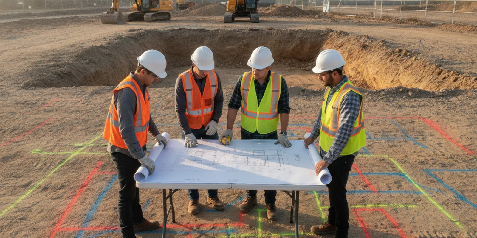
SUE for utility coordination is most useful when teams treat subsurface information as a shared project input, not a late-stage drawing check. Coordinated records, field investigation, design decisions, and construction planning help owners, designers, utility stakeholders, and contractors work from a clearer picture of potential conflicts.
Discuss utility coordination for your project
Why does utility coordination need better subsurface information?
Utility coordination is the work of identifying where existing infrastructure may affect a proposed project, deciding how the design will respond, and communicating those decisions to the people who will build and maintain the work. The challenge is that project teams often start with records that vary in age, detail, format, and confidence. A line shown on a plan may be approximate, incomplete, or based on information that has not been checked in the field.
Those uncertainties can ripple through a project. A proposed foundation, drainage feature, road improvement, or new utility route may overlap an existing line. Designers need to know whether the conflict is real and what alternatives merit review. Utility owners need enough context to assess impacts. Contractors need usable information before sequencing excavation. If each group relies on a different drawing or assumption, the team may discover the mismatch only after design or field work is underway.
Subsurface utility engineering (SUE) supports coordination by organizing available records and investigation findings into information that can inform design and project decisions. It does not eliminate uncertainty or replace communication with utility owners. Its value is in helping a team identify questions early, document what is known, and focus follow-up where it matters.
For a project in Virginia, the Virginia private utility locating overview explains the separate role of locating privately owned infrastructure. Public one-call markings and private locating address different parts of the picture, so a coordination plan should account for the limits of each.
Who needs to coordinate around utility information?
Coordination is not a single handoff. The owner or project manager sets the project purpose, schedule, and decision path. The design team identifies where proposed work may interact with existing infrastructure and defines what information it needs. Utility owners or operators can provide records and advise on assets they own, access requirements, and any review process. Survey and subsurface investigation teams collect and present field information within an agreed scope. The construction team uses the resulting information to plan work and raise unresolved issues.
Roles vary by project. The important point is to name who is responsible for each action. For example, who collects existing records? Who confirms whether a line belongs to a public utility or a private facility? Who evaluates a possible design conflict? Who contacts an owner for review? Who updates the plan when an alignment changes? A coordination log can record the answer, owner, due date, and status for each question.
- Owner or project manager: sets priorities, authorizes investigation scope, and keeps decisions moving.
- Designer: compares utility information with proposed work and identifies conflicts or information gaps.
- Utility stakeholder: provides available asset information and reviews impacts to its infrastructure, when applicable.
- Investigation provider: documents the agreed field work and findings, with limitations made clear.
- Contractor: uses current project information to plan the work and communicates changed conditions or conflicts.
These roles should be set out before field work begins. SafeLine's investigation process and deliverables page describes how its work is organized. The project team should confirm that the selected deliverables answer its coordination questions, rather than assume that one standard package fits every project.
What should the team define before investigation?
Start with the decisions the team needs to make. A request such as “locate utilities” is not, by itself, a complete coordination scope. Identify the project limits, current design status, planned activities, schedule milestones, and the specific uncertainty that could affect a decision. A site plan with marked work areas is more useful than an address alone.
Then set the information boundary. Decide what types of infrastructure are relevant, what records are available, and whether the work concerns public lines, privately owned lines, or both. The team should distinguish information supplied by a utility owner from field observations and from inferred or approximate alignments. That distinction helps prevent a line on a composite drawing from appearing more certain than its source supports.
Agree on how findings need to be delivered. Depending on the project, the team may need field markings, photographs, a map, digital files, notes about access constraints, or a meeting to review potential conflicts. Define the area, coordinate or drawing reference, intended users, and preferred timing. If a design is changing, identify the version used to plan field work and a process for reviewing later changes.
A useful scope discussion covers the following:
- Project limits and the proposed work footprint, including areas where access is restricted.
- Available utility records, prior surveys, design files, and known site history.
- Decision dates, design milestones, planned procurement, and construction sequencing.
- Potential conflicts that need priority review, such as crossings, congested corridors, or planned excavation near existing infrastructure.
- Required documentation, file formats, drawing references, and who will receive the results.
- Who will review findings, resolve questions, and communicate decisions to other parties.
Use the private utility locate checklist to help assemble project information before requesting field work. If the work includes infrastructure beyond the public markings, review how private locating and 811 fit together and clarify which party is addressing each part of the site.
How can investigation findings support coordination?
Investigation methods answer different questions, and no single method detects every utility in every condition. Electromagnetic locating can help trace conductive utilities when conditions and access allow. Ground penetrating radar can help investigate certain subsurface features, including some non-metallic utilities, though results depend on site conditions and interpretation. A combined approach may be appropriate where the project question and conditions justify it. The method and expected deliverable should be discussed before field deployment.
Field markings make findings visible to people working at the site. Documentation can preserve context after markings change or are no longer visible. SafeLine's work includes ground penetrating radar and electromagnetic locating, GPS mapping and digital documentation, and photo verification. Those capabilities can support a team's information workflow, but the project scope still determines whether the work is sufficient for a particular design or construction decision.
For an overview of method selection, see the differences between GPR and electromagnetic locating. For projects where mapping is central to coordination, the utility mapping and documentation service information can help teams consider the form of the deliverable. The services overview also describes the available investigation services.
Whatever the method, communicate uncertainty plainly. A field result should not be presented as a guarantee that all utilities have been found or that every alignment is exact. Coverage, access, surface conditions, depth, material, and signal behavior can affect what can be detected and represented. If a feature cannot be resolved, record the gap and assign a follow-up rather than silently treating it as clear.
How should teams turn findings into coordination decisions?
After field work, bring the findings back to the design and coordination process. Compare the mapped information with the current design, identify possible overlaps, and separate confirmed issues from questions that need further review. A coordination meeting can then focus on decisions rather than simply displaying a map.
- Assemble a shared base. Gather the current design, records, field findings, and relevant owner information. Keep source and date information visible.
- Screen for conflicts. Compare proposed work with identified utilities and note crossings, close approaches, and areas where information remains uncertain.
- Assign each issue. Record the responsible party, action, due date, required response, and status. Examples include asking an owner for record clarification or asking the designer to evaluate an alternate layout.
- Decide and document. Capture the agreed design response, any required owner review, and unresolved matters. Update the drawing or coordination log so the decision can be followed.
- Carry current information into construction. Distribute the correct, dated documents and make clear how the team should raise a discrepancy or changed condition.
How can a coordination log keep decisions moving?
A shared log gives the team a practical way to manage open utility questions without treating a drawing as the only record of coordination. It can be a simple table maintained by the project manager or another assigned owner. The format matters less than keeping the information current, accessible to the right participants, and tied to the latest design.
For each issue, record a short description, its location, the source of the information, and whether it is confirmed, approximate, or unresolved. Add the project decision affected, the person responsible for follow-up, the next action, a due date, and the latest status. If a utility owner has been contacted, note when and what response is still needed. When the team closes an issue, preserve the decision and any drawing or schedule updates that resulted.
Prioritize issues by the decision they could affect and by when that decision is due. A possible conflict in an area scheduled for early excavation may need attention sooner than an unresolved question outside the current work limits. This is a project-management distinction, not a claim about the exact location or severity of a buried asset. If the information is not adequate to make a decision, identify the gap and agree on a suitable next step rather than quietly downgrading the concern.
Use version control so that a log entry, investigation map, and design drawing can be related to the correct project revision. When work limits change, review which findings remain relevant and whether additional investigation or owner coordination is needed. This small discipline reduces confusion when the project moves between design and field teams.
Utility coordination is iterative. A change in footprint, grade, access route, or construction sequence can create a new question. Revisit the investigation information when the design changes materially, when new records arrive, or when field conditions do not match the plan. Do not assume that an earlier locate automatically covers a later work area or revised design.
Some utility coordination approaches use a sequence of avoiding, accepting, mitigating, or replacing a conflict. A utility coordination presentation for green stormwater infrastructure projects describes those steps in that specific context. It is not a universal SUE rule, but the sequence illustrates why teams should first identify the issue, then document the decision and any remaining action.
How do coordination approaches compare?
The right level of investigation depends on the decision at hand. The table below is a planning aid, not a prescribed standard or a promise that a particular method will resolve every site condition.
| Coordination input | What it can contribute | Key limitation or follow-up |
|---|---|---|
| Existing records | Starting context about known assets, ownership, or prior work. | Check dates, source, coverage, and precision; records may be incomplete or approximate. |
| One-call markings | Public utility response for the proposed excavation area under the applicable process. | Confirm what is covered and whether private infrastructure or other site features remain outside the response. |
| Electromagnetic locating | Can help trace conductive lines when a usable signal and suitable access are available. | Not every utility is conductive or traceable in all conditions; unresolved areas need to be recorded. |
| Ground penetrating radar | Can help investigate certain subsurface features, including some non-metallic utilities. | Performance depends on site conditions and interpretation; it does not guarantee detection of every feature. |
| Mapped findings and review | Gives project participants a shared record to compare with proposed work and discuss next actions. | Map quality and usefulness depend on agreed scope, source context, and clear communication of uncertainty. |
Where a project needs engineering decisions, the investigation data must be reviewed by the appropriate project professionals and coordinated with relevant utility stakeholders. A locating deliverable informs the conversation; it does not itself approve a design, authorize excavation, or replace required owner coordination.
What should the team carry into construction?
Before work begins, confirm that field supervisors and relevant crews have the current plans and know how the utility information is represented. Explain the date and limits of the investigation, the meaning of markings or map features, and any locations that remain uncertain. Make clear who should be contacted if the field condition differs from the drawing.
Keep records usable. Include the investigation area, project reference, sources, date, and notes on access or limitations where available. If field markings are used, photographs and digital records can help preserve what was observed at the time. SafeLine documents field markings and can provide photo verification and digital documentation as part of its work, subject to the project scope.
During construction, follow the applicable one-call requirements and safe excavation practices. A private investigation is an additional information source, not a substitute for required notifications or the contractor's own site controls. If an unexpected line or discrepancy appears, pause affected work as appropriate under site procedures, protect people, and notify the responsible project contacts for assessment.
When should a project request SUE support?
Consider discussing investigation support when design choices depend on the location of existing infrastructure, when records leave a meaningful gap, or when a project includes planned excavation near known or suspected utilities. Early planning can give the team time to define the scope and incorporate findings into design review. That does not mean every project requires the same investigation or that field information alone will resolve every conflict.
For development, engineering, and construction teams, the right starting point is a clear question: what decision will this information support? Include the site limits, proposed work, available plans and records, schedule needs, known constraints, and required deliverables. Teams working in SafeLine's service region can review its service areas and the contractor project information before sending a request. The homeowner information page may be more relevant for residential projects.
Share your project scope with SafeLine
Frequently asked questions
Does SUE remove all utility conflicts?
No. SUE can improve the information available for planning and design, but investigation has limits and cannot guarantee that every utility or conflict will be identified. Teams should document uncertainty, coordinate with relevant owners, and plan appropriate follow-up.
Is a private locate the same as a one-call ticket?
No. They address different needs. One-call services notify participating public utility operators and provide responses under the applicable process. Private locating can help investigate privately owned infrastructure not included in those public responses. A project should determine which assets each source covers.
Can GPR and electromagnetic locating be used together?
They can be combined when the project question and site conditions make that approach appropriate. The methods have different capabilities and limitations, so scope the investigation around the information needed rather than assuming one tool will detect everything.
What should we send when asking about a project?
Provide the location and limits, a current site or design plan, the proposed work, known records or markings, schedule milestones, access considerations, and the decisions the team needs to make. Note preferred deliverables and identify a project contact who can answer scope questions.
Coordinated utility information is most useful when project roles, source context, open questions, and next decisions remain visible from planning through construction. Define the decision first, investigate to an agreed scope, and keep the relevant stakeholders working from current information.