
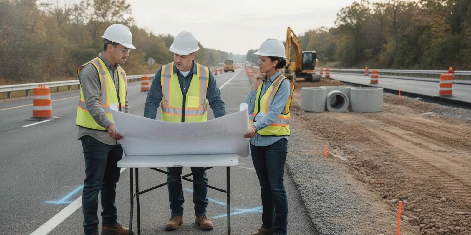
Utility locating for roadway widening projects is most useful when it begins during planning, while design decisions and construction sequencing can still respond to what is found. A widening project can extend beyond the added pavement to shoulders, drainage, intersections, temporary access, grading, and phased work areas. A corridor-based investigation gives the team a clearer way to identify what is known, where uncertainty remains, and what needs follow-up before excavation.
Why plan utility locating before roadway work reaches the field?
A roadway project is not one continuous, uniform excavation. One phase may add a travel lane, another may replace a drainage structure, and a later phase may tie into an intersection or adjust an entrance. Each change can affect the area where buried infrastructure needs to be considered. A plan that only follows the final pavement edge may overlook temporary construction limits and supporting work.
Start by connecting locating to decisions on the project schedule. For example, if the design team must choose between two drainage alignments, identify the crossing area and the date that choice must be made. If a contractor is preparing a staged excavation plan, define the phase limits and sequence. A useful request names the question to be answered rather than asking generally for every possible utility along an undefined road.
Field observations can add useful context to existing records and visible features, but they do not replace design coordination, utility-owner requirements, or safe excavation procedures. Project teams can review private utility locating services as one part of organizing that investigation. For broader context on the relationship between public marking and private investigation, see private locating and 811.
How do 811 and private locating fit together?
Before excavation, follow the applicable 811 process and allow the public utility notification and marking process to proceed. 811 is essential, but its markings do not necessarily identify privately owned lines serving adjacent properties, site improvements, or facilities. A roadway corridor can include public infrastructure as well as private connections crossing or approaching the work area.
Do not treat private locating as a replacement for required one-call steps, and do not assume that public markings show every buried feature. Keep the two efforts coordinated and make their respective coverage clear in project records. SafeLine's overview of what 811 may not cover explains why teams should account for the limits of public marking.
For each work package, note which portions are covered by public marking, which private areas or facilities need separate attention, and who will resolve questions with owners. Confirm ticket status, site access, and the timing of fieldwork. Markings and site conditions can change; teams should verify that the information remains applicable to the exact work location and planned date.
What should the project scope define?
A clear scope makes it easier to investigate the right areas and deliver information in a usable form. Provide a plan sheet or map that shows the corridor, anticipated improvements, and limits of disturbance. A road name alone may not show which side of the road, intersection corner, drainage feature, or temporary access area is included.
- Corridor limits: identify stationing, intersections, parcels, tie-ins, and separate work zones.
- Planned disturbance: show widening, shoulders, grading, drainage, structures, utility work, staging, and temporary access.
- Decision question: state whether the priority is a crossing, a design conflict, a phase, or a broader corridor view.
- Access conditions: note traffic control, gates, vegetation, pavement, restricted areas, and working-hour limits.
- Schedule: include design reviews, bid milestones, anticipated mobilization, and the dates each work zone must be ready.
- Deliverables: specify the format, intended users, review milestones, and required level of detail.
- Known limitations: describe inaccessible areas, records gaps, and locations where additional coordination may be needed.
Define how the team will handle inconclusive findings. The goal is not to promise that every buried object can be detected. The scope should make coverage, methods, observations, limitations, and follow-up questions understandable to the project team. SafeLine describes its investigation process and deliverables as part of preparing fieldwork and documentation.
Which records and site context should the team gather?
Assemble materials that help the field team understand both the area and the project decision. Useful items can include current roadway and drainage plans, available utility records, prior survey information, as-built drawings, permit exhibits, and notes from owner coordination. Mark the excavation envelope and highlight locations where an unknown utility could affect alignment, depth, access, or construction sequence.
Treat records as leads, not proof of exact field position. Record the date and source of each item, and flag gaps or conflicts instead of selecting one depiction without verification. A record may predate a relocation or later site work. If two drawings show different routes, preserve the discrepancy as an open question for review.
A site walk, where practical and safe, can help identify visible clues such as manholes, valves, handholes, meters, cabinets, service entries, and changes in surface or grade. These features may help frame investigation areas, but a visible feature alone does not establish the route or depth of a buried line. The private utility locate checklist offers a way to organize request details before fieldwork.
Make the information easy to use. A plan with clear stationing and a marked work limit is more helpful than a folder of unlabelled drawings. If separate teams own roadway, drainage, lighting, signals, and access plans, consolidate the latest relevant versions or identify which drawing governs each feature. This reduces the risk that the investigation follows a superseded footprint.
How can locating methods support an investigation?
Different methods respond to different targets and site conditions. Electromagnetic locating can help trace conductive utilities. Ground penetrating radar can support investigation of metallic and non-metallic subsurface features when conditions allow. The appropriate approach depends on the target, access, surface, materials, and the question the team needs answered. No single instrument or method guarantees detection of every buried utility.
For a long corridor, it may be more practical to combine a general understanding of the work limits with focused investigation at likely conflict points. A design review might identify a proposed storm line crossing, a new inlet, and a retaining feature as priority areas. The team can define those areas clearly, then determine whether broader coverage is also needed. Learn more about GPR investigation and the differences between GPR and electromagnetic locating.
Method selection should follow the investigation question rather than a promise of universal coverage. Pavement, access restrictions, congestion, utility material, and surface conditions can affect what can be observed. If a target cannot be confidently resolved, the project needs that uncertainty recorded and a decision about next steps, not an assumption that an unmarked area is clear.
For a project in a public right-of-way, also review applicable agency requirements, permits, and current project documents. The Loudoun County Old Ox Road widening project page describes a project involving widening design, utility relocations, environmental permitting, and right-of-way acquisition. It illustrates the kinds of coordination topics that can accompany roadway work, not a universal checklist or requirement for every project.
How do common roadway project needs compare?
| Project need | What to define | Planning value |
|---|---|---|
| Corridor design | Limits, proposed footprint, records, design milestone | Highlights areas where existing utility information may affect design choices |
| Drainage or crossing | Crossing location, excavation limits, owner information | Focuses review where multiple systems may converge |
| Construction staging | Phase boundaries, access, sequence, anticipated dates | Coordinates field access and review with the work schedule |
| Potential conflict | Specific design issue, records, decision deadline | Clarifies whether follow-up or additional coordination is needed |
| Temporary access or staging | Temporary footprint, duration, grading or excavation plan | Prevents the investigation boundary from stopping at the permanent roadway limits |
Use the table as a scoping aid, not a substitute for project-specific design, permits, owner requirements, or safety procedures. A corridor may need several work packages if access, schedule, or design maturity differs by location. Each package should still connect to the overall corridor plan so that a boundary between phases does not create an unreviewed gap.
How should fieldwork fit the construction schedule?
Schedule locating early enough for findings to inform decisions. If the request comes only after a conflict becomes urgent, traffic control, access, design review, and owner coordination may be difficult to arrange. List the dates when information is needed for design review, bidding, mobilization, and excavation, then work backward to allow time for field access and review.
- Before fieldwork: confirm the scope, current plans, access, 811 status, site contacts, and applicable safety or traffic-control requirements.
- During investigation: maintain clear work limits, document inaccessible areas, and flag questions needing design or owner input.
- After fieldwork: compare observations with the relevant design version and assign each open conflict to an owner.
- Before excavation: confirm that the information and markings remain applicable to the planned location and date, and follow required procedures.
A worked schedule can make the dependencies visible. Suppose a drainage crossing is expected to reach design review in four weeks and a contractor expects to prepare a work package shortly afterward. The project lead can identify the crossing and related staging limits now, assemble records, coordinate access, and set a review date for findings before the alignment is finalized. The exact interval depends on project conditions; the point is to place investigation before the decision it is meant to inform.
For active construction, establish a communication path for revisions. A shifted alignment, revised drainage plan, added access route, or changed staging area may move excavation beyond the area already investigated. The project lead should compare each revision against the locate limits and decide whether follow-up is needed. Avoid assuming that earlier observations automatically cover changed work.
How can teams review findings and manage uncertainty?
Review field findings alongside the design rather than in isolation. Compare marked or documented observations with planned excavation, then identify areas that may require avoidance, design adjustment, owner coordination, or additional investigation. Record the drawing version used, review date, and person responsible for each open item.
Check that the deliverable makes its coverage, method, date, and limitations clear enough for the people who will rely on it. Where an area could not be investigated, keep it visible as an information gap. Do not interpret an unmarked area as proof that no utility exists. Depending on the scope, utility mapping and documentation can support organized review of field information.
A simple issue log can prevent uncertainty from disappearing between design and construction. For each item, note its location, the record or observation involved, the potential project effect, the next action, and the responsible person. For example, a conflict between an old record and a field observation at a proposed inlet should remain open until the design lead or owner determines how it affects the plan. Marking an item “reviewed” without recording the decision leaves the next team without context.
Share relevant information with design leads, construction managers, excavators, and utility coordinators. Keep the scope and limitations with the field information, not in a separate email that may not follow the plan set. Make sure the people who will perform or direct excavation know how to raise a discrepancy before work proceeds.
What changes should trigger a follow-up review?
Revisit the investigation limits when the project changes in a way that may move or expand ground disturbance. Examples include a widened shoulder, an added drainage structure, a revised intersection tie-in, a temporary detour route, a relocated sign or lighting foundation, or a construction staging area placed outside the original boundary.
Compare the revised plan with the documented coverage. If the disturbance stays within the investigated area and the information remains current and appropriate, the team may simply record that review. If the change extends beyond coverage, introduces a new target, or changes the excavation location, identify what additional coordination is needed. The decision belongs to the project team in light of applicable procedures and conditions; do not assume a previous locate automatically applies to new work.
Version control matters. Label plan sheets with revision dates and avoid passing around unmarked prints. When field information is shared, note the date it was gathered and the limits it represents. A clear chain from design revision to coverage review makes it easier to identify what has changed and what still needs attention.
What information helps when requesting a project conversation?
Prepare the project location and limits, a plan or corridor exhibit, a short description of the proposed work, schedule milestones, available records, and the specific decision the investigation should support. Note whether the work includes intersections, drainage, structures, temporary access, or multiple phases. If records conflict or an area is difficult to access, identify that early so the discussion can address scope and coordination.
It is also useful to identify who will review the findings and how they will be used: design coordination, construction planning, or a specific conflict review. This keeps the request grounded in a defined outcome and helps the team discuss appropriate coverage and deliverables without assuming that one field visit resolves every project question.
For example, a project manager can send a marked plan showing a 400-foot widening segment, the proposed storm crossing, two staged work areas, and the design date when the crossing must be reviewed. The request can also note that a portion beside a retaining feature has limited access and that available records differ on the alignment of an existing service. That concise package gives the conversation a practical starting point: what area matters, what is known, what remains uncertain, and when the answer is needed.
To avoid losing context across a large project, assign a point person for questions and identify the file version that governs. A short transmittal note can list the plans attached, the revision date, requested coverage, access arrangements, and intended users of the findings. If a corridor is divided into packages, include a simple index showing each package's limits and status. This makes it easier for a design reviewer or field supervisor to see whether a specific crossing has been addressed or still needs coordination.
A well-scoped utility investigation cannot remove every uncertainty from roadway work, but it can give the team a clearer basis for coordinating design, utility owners, and construction before excavation begins.