
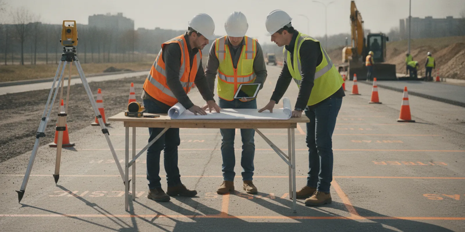
SUE for transportation projects helps teams understand existing underground infrastructure before roadway, bridge, drainage, and corridor work reaches construction. Owners, designers, and contractors need to gather and use utility information early enough to consider conflicts alongside schedule, access, and design decisions.
Plan a transportation utility investigation
Why plan utility investigation early in a transportation project?
Transportation work often takes place in constrained corridors with many existing assets and limited room to shift alignments. Roadway widening, intersection improvements, drainage upgrades, bridge approaches, and transit-related work can affect utilities owned by public agencies, private operators, adjacent businesses, and property owners. Records and visible features provide useful clues, but they may not show full field conditions.
When a potential conflict appears late, a team may revisit design assumptions, coordinate with utility owners, adjust work sequencing, or assess a route change. Early investigation gives the team more opportunity to identify where uncertainty matters while plans and construction methods can still be adjusted.
This work complements, rather than replaces, required one-call notification and utility-owner coordination. The U.S. Department of Transportation's Highway Performance Monitoring System describes highway network extent, use, condition, and performance. See the Highway Performance Monitoring System overview for broad transportation network context. It is not a project utility record and cannot replace site-specific investigation.
How do 811 and private locating fit together?
Before excavation, follow applicable one-call requirements and allow the required time for public utility operators to respond. Public marking typically addresses operator-owned facilities within the one-call system's scope. Private lines and other infrastructure may not be included. Transportation rights-of-way can meet adjacent parcels and facilities with different ownership, so teams should confirm the limits of each information source.
Private locating can help investigate features outside public marking scope, subject to site conditions and the agreed scope. It is another layer of information, not a guarantee that every buried feature will be detected or that excavation can proceed without field verification. For background, read how private locating and 811 differ.
Use the project coordination process to identify who owns known facilities, what records are available, which areas are included in one-call coverage, and what investigation remains necessary. The guide to what 811 may not cover can help frame that review.
What should the transportation scope define?
Start with the decision the project needs to make, not a technology or a broad request to locate everything. Identify corridor limits, planned work, design stage, known utility concerns, and the questions field information should answer.
- Work limits: Provide stationing, plan sheets, access limits, anticipated work areas, and alternates.
- Planned construction: Describe excavation, grading, drainage, foundations, signs, lighting, retaining structures, and other work that could interact with buried infrastructure.
- Known information: Share utility records, previous markings, survey data, as-builts, pothole information, and unresolved discrepancies.
- Decision points: State whether the team is screening a corridor, evaluating a design conflict, refining a work zone, or preparing for construction.
- Deliverable use: Explain who will use findings and whether they need field markings, photographs, mapped observations, or other agreed documentation.
- Constraints: Note traffic control, access permissions, active operations, surface conditions, schedule windows, and safety requirements.
The area of interest may be broader than the excavation footprint. A drainage connection or proposed foundation can affect nearby utilities, while staging and access create separate work areas. Mark each area on a plan and identify what is known, what is uncertain, and which decision depends on better information.
SafeLine's investigation process and deliverables page describes information teams can discuss when setting up fieldwork. The pre-excavation locate checklist can help organize details before requesting a scope.
Which locating methods may support a corridor investigation?
Method selection depends on the target, access, surface, soil, records, and purpose. Electromagnetic locating can be useful for conductive utilities or systems that can be traced with appropriate access. Ground penetrating radar may help investigate certain buried features, including some non-metallic targets, but conditions affect detection and interpretation. Neither method provides a universal view of every underground feature.
Complementary methods may provide additional evidence in some settings. Specify what will be investigated and how limitations or inconclusive areas will be reported. Do not present a field observation as a confirmed identity or exact depth unless the method and evidence support that conclusion.
Teams can compare GPR and electromagnetic locating or review ground penetrating radar investigations. Keep method discussions tied to project questions.
How can teams coordinate investigation with transportation work?
Align investigation with design milestones and site access. A practical sequence helps keep information usable as plans evolve:
- Assemble records and plans. Gather current design sheets, survey control, utility records, previous investigations, and one-call information. Identify gaps and conflicts.
- Prioritize decision areas. Mark proposed excavation, structures, drainage, and other work where an unknown facility could affect design or construction planning.
- Confirm access and constraints. Coordinate property permissions, traffic control, lane or shoulder access, work hours, and site safety.
- Conduct field investigation. Keep the field team aligned with approved limits and project questions. Record inaccessible areas and uncertain results.
- Review findings. Compare observations with plans and records. Route potential conflicts to the designer, owner, or utility coordinator.
- Track decisions. Record how findings were used, what remains unresolved, and whether a later revision changes the investigation need.
Active roadway work may require coordination so field activity does not conflict with traffic operations or construction. Set those requirements before mobilization. Findings inform design and construction planning; responsible professionals and asset owners make decisions within their roles.
What should a team compare when planning the investigation?
This table is a planning aid, not an engineering standard or promise of results. Actual scope depends on site conditions and the question being answered.
| Project situation | Planning question | Useful preparation | Possible next step |
|---|---|---|---|
| Early corridor screening | Where are records incomplete or conflicts concentrated? | Study limits, alternatives, records, known constraints | Identify priority areas for follow-up |
| Design development | Could utilities affect proposed work? | Current plans, excavation limits, drainage and structure locations | Compare observations with design and flag issues |
| Preconstruction planning | What information does the crew need before work? | Final work zones, access plan, one-call status, staging | Coordinate verification, notifications, and field controls |
| Change or unforeseen condition | Has a revision changed the question? | Updated plans, change description, prior records | Decide whether further investigation or owner coordination is needed |
Early screening does not replace later task-specific coordination. A preconstruction review should account for changes made after earlier fieldwork. Keep document dates and revision identifiers visible so users know which plan set informed the investigation.
How should teams plan investigations across project phases?
A transportation program may move from corridor study to preliminary design, final design, and construction over an extended period. Information gathered for one decision may not answer a later question. Treat investigation as a coordinated input to each phase, recording coverage, date, plan revision, and limits for each field effort.
During early planning, use records and field observations to identify sections deserving closer attention. The purpose is to compare alternatives and highlight uncertainty, not claim every facility has been found. As an alignment develops, focus review on proposed structures, drainage crossings, retaining features, and locations where design approaches known or suspected infrastructure. Before construction, compare final work limits with earlier coverage and identify new or shifted work that was not reviewed.
For example, an early concept may show a drainage outfall near a recorded utility corridor. Later, the design may move the outfall and add a junction structure. The earlier review remains useful, but it does not answer whether the revised structure overlaps the utility area. Document the change, compare it with investigation limits, and ask whether additional information or owner coordination is appropriate.
How can teams make field information usable?
Findings are easier to act on when connected to a location, a question, and a plan revision. Decide how observations will be recorded and who will receive them. A useful handoff identifies investigated areas, detected or visible features, limitations, and follow-up items. Agree on the coordinate or plan reference and identify the dates of observations from different revisions.
- Keep limits legible: Distinguish investigated areas from areas outside the request.
- Preserve uncertainty: Label inconclusive observations as unresolved rather than confirmed.
- Connect to design: Show the plan sheet or feature that prompted review.
- Assign follow-up: Name who will contact an owner, review a conflict, or decide if more work is needed.
- Control revisions: Store the record with its date and drawing version, then check it when design changes.
These steps do not turn a field observation into a design decision. They help designers, owners, and construction teams understand what the observation supports and what remains unresolved.
How should teams review findings and manage uncertainty?
Assign a project contact to receive field notes and route questions. Review observations against design, utility records, and site conditions. Where information conflicts, document the discrepancy instead of silently choosing one source. If identity, ownership, or relationship to planned work is uncertain, refer the issue to the appropriate utility owner or design professional.
Keep investigation limits clear in project records. Note areas that were inaccessible, obstructed, outside scope, or affected by conditions limiting interpretation. Do not extend a mark or interpretation beyond supporting evidence. Before excavation, the contractor must still follow applicable requirements, confirm current marks and site conditions, and use required safe excavation practices.
When plans change, compare revised work with original limits. A shifted alignment, new drainage structure, added sign foundation, or relocated staging area can create a different utility question. Read the guide to utility locating and construction changes for a framework for reviewing updates.
What coordination questions belong on the project checklist?
Before a field visit, confirm that the latest plan set has been shared and identify who can answer questions about proposed work. If the corridor crosses public and private property, clarify access boundaries and permissions. Where traffic operations, work-zone controls, or active construction affect access, establish who coordinates those requirements.
Check whether previous utility records, survey control, field markings, or investigation notes are available. Do not assume an old mark or drawing represents current conditions. Ask when it was created, what area it covered, and whether the project has changed. If several organizations hold records, identify a contact to consolidate them and flag contradictions.
At the end of review, the project manager should state the investigation question plainly. For example: “We need to understand what information is available near the proposed storm crossing before design advances.” A clear question aligns requested area, field activity, and follow-up, and helps identify when a project change warrants a new discussion.
What information should you provide when requesting transportation locating?
Include project location and limits, current drawings, planned work, schedule milestones, known utility information, and decisions the investigation should inform. Share contacts for the project manager, site representative, designer, and utility coordinator when available.
Explain whether work is in a public right-of-way, private property, or both; whether traffic control or escort arrangements are in place; and whether field markings, photographs, mapping, or a written record are needed. Identify phases or alternates separately rather than assuming one visit covers future conditions.
Review SafeLine's utility locating and mapping services and service areas, then share project details to discuss scope.
Frequently asked questions
Does SUE for transportation projects replace 811?
No. Private investigation is an additional information source and does not replace required one-call notification, utility-owner coordination, or applicable excavation practices.
When should a transportation team request locating?
Raise the need while the project can still evaluate alternatives and coordinate design. Timing depends on milestones, access, and the decision the information must support.
Can GPR find every buried utility?
No method can be assumed to detect every utility in every condition. Results depend on targets and site conditions, so define scope and review limitations.
What if field findings conflict with utility records?
Document the discrepancy and send it to the responsible designer, utility owner, or project coordinator for evaluation.
Discuss your transportation project
Clear limits, coordinated records, and timely review help transportation teams use underground utility information in planning and construction decisions.