
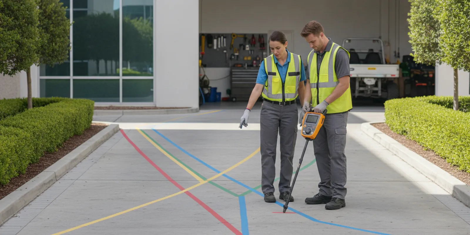
Facility work often involves more than the visible repair or upgrade. Before a crew digs for a sign, light pole, drainage repair, new service, or landscape project, it needs a usable picture of what may be underground. Utility locating for facility managers is a planning task: define the work area, identify what records and public marks can tell you, locate gaps, and coordinate findings with the people doing the work.
Discuss a facility locating need
Why should facility managers plan locating before work is scheduled?
Facility sites accumulate infrastructure over time. A campus or industrial property may include public services, private feeds between buildings, lighting, irrigation, drainage, communications, and lines installed during earlier projects. Records may be incomplete, and a utility can cross a proposed work zone even when it is not shown on the current drawing.
That makes locating relevant well before the excavator arrives. Early planning gives a manager time to review drawings, coordinate the public utility notification, decide whether private locating is needed, and set expectations for contractors. It can also reveal that a project boundary or construction sequence needs adjustment before mobilization.
Start with the work rather than with a device or a presumed utility list. A narrow footing, a long trench, a new sign, and a broad resurfacing project create different questions. The locating request should reflect where the crew will disturb the ground, how deep or extensive the work may be, and what decisions the results must support.
For an overview of how public marking and private locating differ, review private locating vs. 811. Public one-call marking remains an important step before excavation; a private investigation may address infrastructure on the property that is outside the scope of public utility marking.
What should a facility manager define in the locating scope?
A useful scope tells the locating team what is planned, where it will happen, and what information the facility needs back. Mark a work area on a site plan or aerial image. Identify the proposed limits, access points, nearby buildings, and any areas where the crew cannot enter. Where a project is phased, show each phase and its expected timing rather than treating the entire facility as one undifferentiated work zone.
- Describe the planned activity. State whether the work involves trenching, post installation, landscaping, drainage, a building addition, or another ground disturbance. Include the approximate footprint and any known depth or route.
- Set the investigation boundary. Include the actual excavation area and the surrounding space needed to understand potential conflicts. If a contractor's route is not final, say so and provide the options being considered.
- List known infrastructure. Share available utility plans, as-builts, prior locate reports, maintenance notes, and information from contractors. Label records with their date and source; do not present old drawings as verified field locations.
- Identify operational constraints. Note gates, restricted areas, busy pedestrian routes, vehicle access, sensitive landscaping, work-hour limits, and any operations that must continue during fieldwork.
- Explain the deliverable needed. Clarify whether the crew needs field markings, a written record, photographs, mapping, or information for a designer or excavator to review. Confirm the required format and timing.
These details help the provider assess the scope and choose a sensible approach.
Before sending the request, check the map against the field layout. A plan that labels only a building name or a general parking lot may be too vague to identify the work footprint. Mark the proposed trench centerline or area, show nearby structures and entrances, and note whether the crew may need to cross a driveway or landscaped zone. If an exact route is not selected, show the alternatives and ask whether the locate should cover all options or wait until one is chosen.
For a multi-building property, name each work area and use a consistent site reference, such as building numbers or gate names. This avoids confusion when the request, contractor schedule, and site access list use different labels. For phased construction, separate near-term work from future possibilities. A locating team can then focus on the area needed for the current decision while the facility keeps the larger project context visible. Managers should also flag uncertainty plainly: an incomplete drawing is still useful background when it is identified as incomplete, whereas an unlabeled sketch can be mistaken for a verified record.
Think about who needs to act on the findings. The facility contact may coordinate access, but the project engineer or excavation supervisor may be responsible for choosing a route or responding to a conflict. Name those reviewers in advance. If no one is assigned to interpret deliverables, even a well-prepared field investigation may not be integrated into the project decision.
SafeLine describes its investigation process and deliverables and offers utility locating, GPR, and mapping services; a facility manager can use those pages to understand the available service paths before discussing a project.
How should 811 and private locating fit together?
Do not treat a private locate as a replacement for the required public utility notification. Facility managers should follow the applicable one-call process and site procedures before excavation. Public utility marking and private locating answer related but different questions. Public utility operators mark the facilities in their scope; private infrastructure on a property may need separate investigation.
Make the two efforts part of one schedule. Provide the locate ticket information and marking status to the private locating provider, and share private findings with the designer and contractor. A single site plan that distinguishes public marks, private marks, known records, and unresolved areas is easier to use than separate notes held by different teams.
The Michigan Technological University facilities resource describes utility locating and infrastructure maintenance activities that include locating and marking underground utilities, then responding to the dig notification after utilities are marked. See its utility locates and infrastructure maintenance overview for an example of how locating connects to facilities operations. Requirements and procedures vary by location, so confirm the applicable process for the project site.
For a facility manager, the practical question is not simply whether an 811 ticket exists. Ask what areas and facility owners were included, what remains outside that scope, and whether the proposed excavation crosses private systems. SafeLine's guide to what 811 does not cover can help frame that review.
Which locating methods may be relevant on a facility site?
Method selection depends on the target, site conditions, records, and the required result. Electromagnetic locating equipment can help trace conductive utilities when the signal can be accessed or detected. Ground penetrating radar (GPR) can help investigate subsurface features, including some non-metallic utilities, but results depend on conditions and interpretation. No single method should be presented as a guarantee that every buried feature will be found.
The Federal Highway Administration explains that magnetic locators are portable systems that can provide an operator feedback for marking and mapping utility features. Its overview of magnetic locators for underground utilities is useful background on that equipment category, but it is not a substitute for selecting an approach for a particular site or target.
On many properties, the question is how methods and information complement one another. Existing plans can suggest routes; electromagnetic locating may help trace conductive lines; and GPR may be considered when the target or conditions call for another kind of investigation. A qualified provider can discuss what is feasible and what limitations should be kept in mind. For more context, read about GPR and electromagnetic locating and GPR investigation.
| Planning question | What to share or check | Why it matters |
|---|---|---|
| What will disturb the ground? | Work type, footprint, route, approximate depth, and phases | Defines the area and the practical questions for the investigation |
| What information already exists? | Plans, as-builts, past reports, ticket details, and maintenance records | Provides context while making clear what is documented versus verified |
| Which utilities may be involved? | Known public services and suspected private lines or systems | Helps identify potential gaps and discuss appropriate methods |
| What does the team need back? | Marks, photos, a report, mapping, or another agreed deliverable | Allows the designer and contractor to use findings in project decisions |
| What has changed since the locate? | New excavation, construction, utility work, grading, or revised design | Signals that previous information may need review before work proceeds |
How can locating fit into maintenance and capital work?
Facilities teams balance planned projects with urgent repairs. For planned capital work, add locating to the pre-design or pre-construction checklist, not as a last-minute field request. That leaves room to gather records, coordinate access, establish the area of interest, and resolve questions before bids or work packages are finalized.
For routine maintenance, connect the locate request to the work order. A crew replacing a post, repairing drainage, planting trees, or installing a new equipment pad should have the work limits and relevant site information available before disturbing soil. The person authorizing work should know who will review marks and what to do if the markings conflict with the intended route.
Emergency repairs may compress the schedule, but they do not remove the need to coordinate safety steps. Share what is known, describe the immediate work area, and discuss urgency and access with the locating provider. SafeLine's company information describes 24/7 availability for emergency projects, but response and scope should be confirmed directly for the particular job. Keep the contractor and facility operations contact aligned on any limits or unresolved areas.
Use a repeatable intake process across the portfolio. A short form can capture the building or site name, site contact, work order or project number, planned disturbance, map, records, 811 status, access constraints, schedule, and requested deliverables. This reduces back-and-forth and helps managers compare project requests without assuming that two sites have identical conditions.
Coordinate the locate with the facility's daily operating plan. Tell the field contact which entrances, loading areas, or pedestrian paths may be affected, and decide who can authorize temporary access changes. If a facility has multiple departments or tenants, identify the person who can notify them and the person who can answer questions about restricted areas. These steps do not change what can be detected underground, but they help the investigation happen within the access and safety constraints of an active property.
Before fieldwork, confirm the site map is current enough to orient the crew and that the requested area is physically accessible. If vehicles, stored materials, active maintenance, or temporary fencing block part of the work zone, flag that condition rather than assuming it will be cleared. Agree on how the team will communicate a missed area or a field condition that differs from the supplied plan. This gives the manager a chance to resolve access issues or revise the schedule instead of discovering after the visit that the requested coverage was incomplete.
What should the facility team review when fieldwork is complete?
Do not treat a set of paint marks as the entire project record. Agree in advance on how findings will be documented and communicated. When the fieldwork is complete, review the materials with the person responsible for design or excavation, and verify that the area shown matches the work that is actually planned.
- Confirm the location and limits covered by the investigation. Identify any requested areas that were inaccessible or not included.
- Review the meaning of marks, labels, photographs, and report notes with the relevant project team.
- Check that records distinguish observed or marked information from features inferred from records or other sources.
- Share the current materials with the contractor, site operations, and future project stakeholders who need them.
- Record the date, scope, provider, ticket or work order reference, and any follow-up actions in the facility's document system.
Make the record easy to retrieve later. Use a file name or work-order reference that connects the locate materials to the site, project, and date. Keep the original deliverable intact, and store a working copy with the project drawings if the design team needs to annotate it. When information is transferred to a contractor, record which version was shared and who received it. This simple version control matters when several phases or firms are involved; a stale attachment can otherwise circulate after the work area has changed.
Separate field findings from facility interpretation. For example, preserve the provider's report as issued, then document the design team's decision about moving a route or the contractor's field question in a separate note. That keeps the evidence and the later decision traceable without suggesting that a locate report by itself authorizes excavation. If a project is handed to another manager, include the scope, dates, limitations, open questions, and the contact responsible for resolving them.
If mapping is part of the scope, clarify how the information will be delivered and what coordinate or file conventions the project needs. A locate report should be considered alongside design documents, field conditions, and applicable excavation procedures. SafeLine's page on utility mapping and documentation outlines a related service area, while its private utility locate checklist offers a practical prompt list for preparing a request.
When should a facility manager request a review or new locate?
Locate information relates to a particular scope and the conditions observed at a particular time. Revisit it when the proposed excavation moves, the work area expands, the design changes, new utilities are installed, or site work disturbs the surface and may affect marks. A long delay between locating and construction is also a reason to ask the responsible team whether the information remains suitable for the planned work.
There is no universal interval that makes marks current for every facility project. The right decision depends on local requirements, the project scope, the age and condition of the markings, and what has happened on site. If paint is missing, the work limits have changed, or the crew cannot reconcile marks with the plan, pause and have the project lead determine the appropriate next step before excavation proceeds.
Keep the decision explicit. Record who reviewed the change, what changed, and whether the original scope still answers the excavation question. For multi-phase work, do not assume an earlier phase's markings automatically cover a later area or a newly selected route.
What should you provide when requesting a facility locate?
A concise, complete request helps establish a realistic scope. Send the site address and a reliable site contact, then attach a marked-up plan or aerial image that shows the work boundary. Include what is being installed or repaired, the expected excavation footprint and depth if known, the likely schedule, and any access or operating constraints.
Add relevant records and explain their status: for example, whether a drawing is an as-built, a design, or an older utility sketch. Note the 811 ticket and public marking status, known private infrastructure, and prior locating results. Ask what field markings and documentation will be provided, what conditions could limit the investigation, and what the team should do if the design or field conditions change.
For background on the private locating option, see private utility locating in Virginia and the broader service area information. Availability and project fit should be confirmed with the provider based on the site and scope.
Send your project details to SafeLine
Frequently asked questions
Does an 811 ticket locate every utility on a facility property?
No. Public one-call marking addresses facilities within the participating operators' scope. Private infrastructure on a property may not be included, so managers should confirm what was covered and determine whether a separate investigation is appropriate.
Should facility managers request locating during design or just before construction?
For planned work, raise the need during planning or design so the team can define the work area, gather records, coordinate public marking, and address conflicts before construction is scheduled. Confirm whether the information remains suitable if work is delayed or the design changes.
Can GPR find every buried line?
No method should be treated as certain to find every buried feature. GPR performance depends on site conditions and target characteristics, and other methods have their own limits. Discuss the suspected utilities, site conditions, and required outcome with the locating provider.
What if the contractor changes the excavation route after locating?
Compare the revised route with the investigated area and the delivered findings before digging. If the new route extends beyond the scope or marks are missing or unclear, have the project lead arrange a review or additional work as appropriate.
Make locating part of the facility work plan
Facility managers can make underground work more predictable by treating utility locating as a defined project step. Set the work limits, coordinate 811 and private investigation, share reliable records, agree on useful deliverables, and revisit the information when plans or site conditions change. A clear request gives the project team a stronger basis for making decisions before excavation begins.